Práznovce
- Práznovce
-
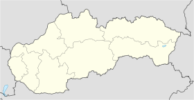
Práznovce (allemand : Prasnowitz, hongrois : Práznóc)[4] est un village de Slovaquie situé dans la région de Nitra.
Histoire
Première mention écrite du village en 1183.
Notes et références
Catégories :
- Village de Slovaquie
- Village et ville du district de Topoľčany
Wikimedia Foundation.
2010.
Contenu soumis à la licence CC-BY-SA. Source : Article Práznovce de Wikipédia en français (auteurs)
Regardez d'autres dictionnaires:
Práznovce — is a municipality with 971 inhabitants in the Topoľčany District of the Nitra Region, Slovakia … Wikipedia
Bebrava — BebravaVorlage:Infobox Fluss/GKZ fehlt Lage SlowakeiVorlage:Infobox Fluss/FLUSSSYSTEM fehlt Vorlage:Infobox Fluss/ABFLUSSWEG fehlt Quelle Kleine FatraVorlage:Infobox Fluss/QUELLKOORDINATE fehlt … Deutsch Wikipedia
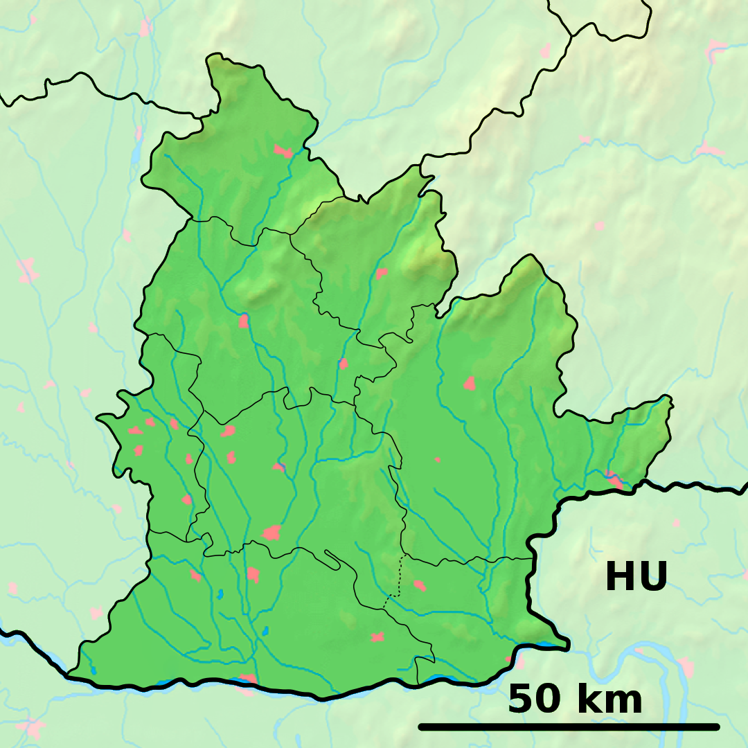
District de Topoľčany — 48°33′30″N 18°12′24″E / 48.55833, 18.20667 … Wikipédia en Français
List of rivers of Slovakia — This is a list of the major rivers that flow through Slovakia and their lengths.Alphabetic list (selection)#Bebrava: 47.2 km #Belá: 36.3 km #Biela Orava: 37 km #Blava: 47.5 km #Blh: 52.5 km #Bodrog: 123 km (out of which 15 km in Slovakia) #Bodva … Wikipedia
Nitra Region — Coordinates: 48°18′25″N 18°05′11″E / 48.30694°N 18.08639°E / 48.30694; 18.08639 … Wikipedia
Topoľčany — Coordinates: 48°33′15″N 18°10′37″E / 48.55417°N 18.17694°E / 48.55417; 18.17694 … Wikipedia
Topoľčany District — District Country Slovakia Region … Wikipedia
List of municipalities and towns in Slovakia — Slovakia This is a comprehensive list of municipalities and towns in Slovakia. For lists of towns and municipalities sorted by Regions see the individual articles on Regions. For an outdated list of towns only in Slovakia see also List of towns… … Wikipedia
Čermany — Topoľčany District in Nitra Čermany is a municipality in the Topoľčany District of the Nitra Region, Slovakia … Wikipedia
Dvorany nad Nitrou — Topoľčany District in Nitra Dvorany nad Nitrou is a municipality in the Topoľčany District of the Nitra Region, Slovakia … Wikipedia
 Slovaquie
 Práznovce