Chrabrany
- Chrabrany
-
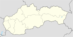
Chrabrany (hongrois : Nyitragaráb)[4] est un village de Slovaquie situé dans la région de Nitra.
Histoire
Première mention écrite du village en 1291.
Notes et références
Catégories :
- Village de Slovaquie
- Village et ville du district de Topoľčany
Wikimedia Foundation.
2010.
Contenu soumis à la licence CC-BY-SA. Source : Article Chrabrany de Wikipédia en français (auteurs)
Regardez d'autres dictionnaires:
Chrabrany — is a municipality in the Topoľčany District of the Nitra Region, Slovakia. Chrabrany (pronounced /’xrabranɪ/) is a small village situated on the right bank of the Nitra river, three kilometres south of Topolcany. In 2010, the village had a… … Wikipedia
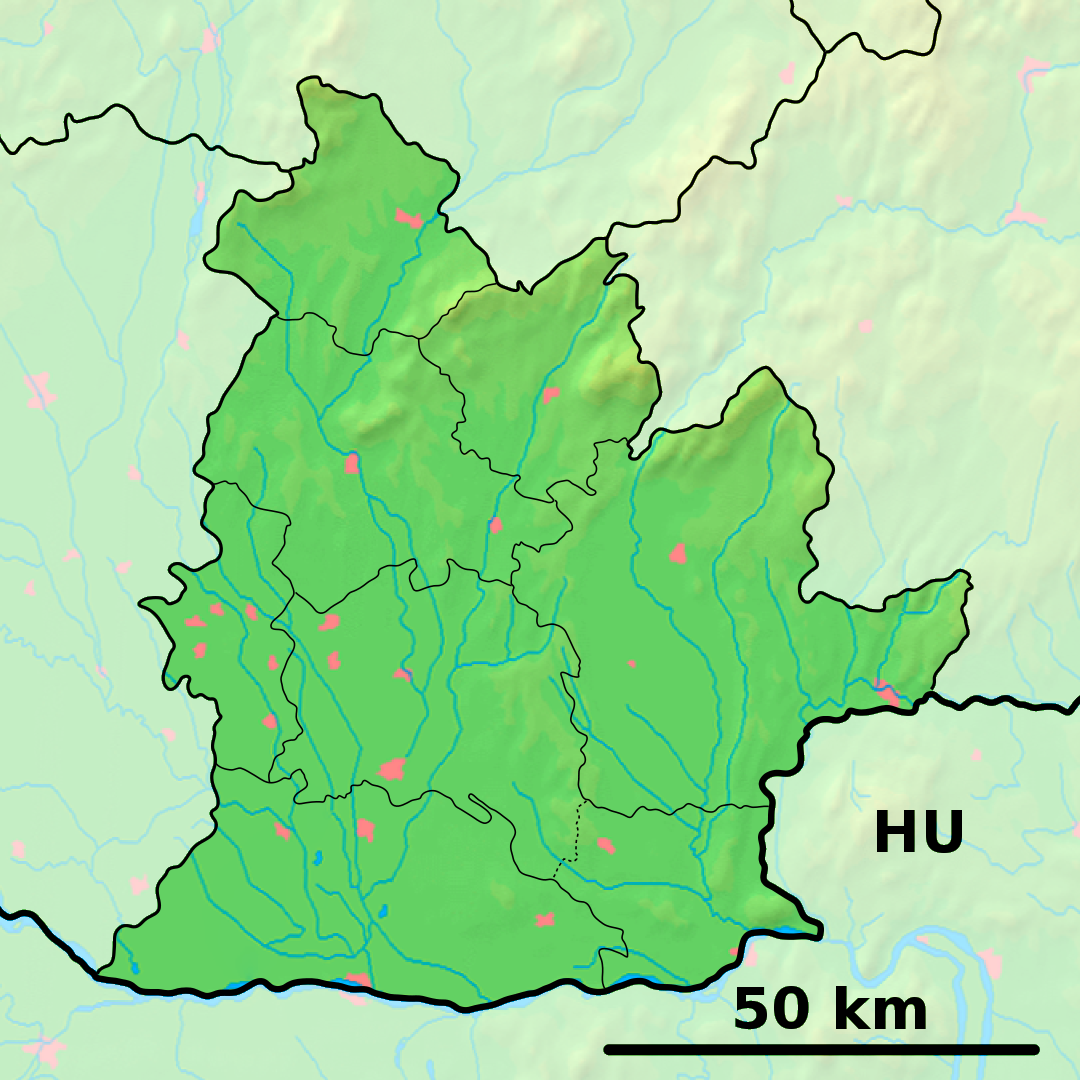
District de Topoľčany — 48°33′30″N 18°12′24″E / 48.55833, 18.20667 … Wikipédia en Français
Nitra Region — Coordinates: 48°18′25″N 18°05′11″E / 48.30694°N 18.08639°E / 48.30694; 18.08639 … Wikipedia
Topoľčany — Coordinates: 48°33′15″N 18°10′37″E / 48.55417°N 18.17694°E / 48.55417; 18.17694 … Wikipedia
Topoľčany District — District Country Slovakia Region … Wikipedia
List of municipalities and towns in Slovakia — Slovakia This is a comprehensive list of municipalities and towns in Slovakia. For lists of towns and municipalities sorted by Regions see the individual articles on Regions. For an outdated list of towns only in Slovakia see also List of towns… … Wikipedia
Bojná — is a municipality in the Topoľčany District of the Nitra Region, Slovakia. The village has a population of about 2,000 people. The main landmark is Catholic Church of All Saints built in 1787. Opposite the church stands (since WWII defunct)… … Wikipedia
Čermany — Topoľčany District in Nitra Čermany is a municipality in the Topoľčany District of the Nitra Region, Slovakia … Wikipedia
Dvorany nad Nitrou — Topoľčany District in Nitra Dvorany nad Nitrou is a municipality in the Topoľčany District of the Nitra Region, Slovakia … Wikipedia
Hrušovany, Topoľčany District — Topoľčany District in Nitra Hrušovany is a municipality with 1.135 inhabitants in the Topoľčany District of the Nitra Region, Slovakia. The village itself possess a good infrastructure, including kindergarten, basic school, gas distribution… … Wikipedia
 Slovaquie
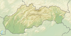
 Chrabrany