- Ludanice
-
Ludanice
(Village)
Administration Pays  Slovaquie
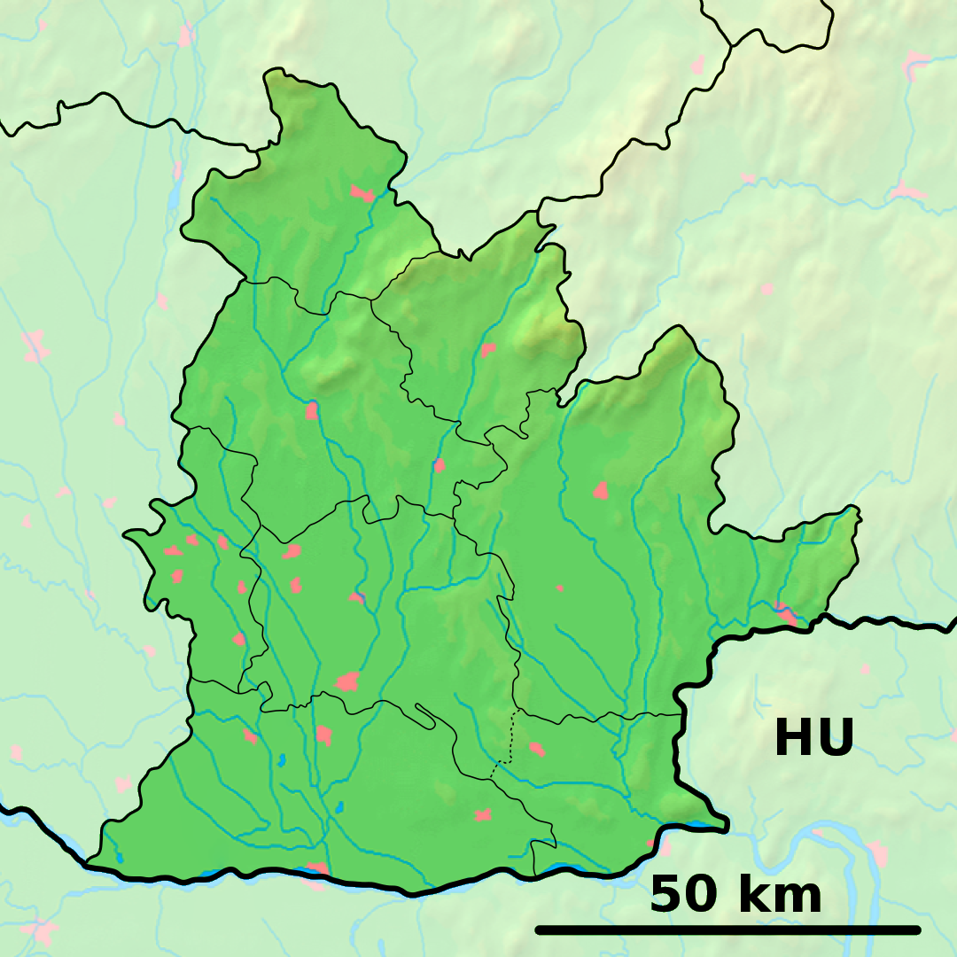
Région Région de Nitra District District de Topoľčany Code postal 956 11 Plaque minéralogique TO Starosta (maire) Ľubica Petráková ( Indépendant )
Mandat: 2013
Démographie Population 1 802 hab. (31.12.2007) Densité 160,9 hab./km2 Géographie Coordonnées Altitude 160 m Superficie 1 120,202 ha = 11,202020 km² Localisation en Slovaquie 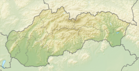
 Ludanice
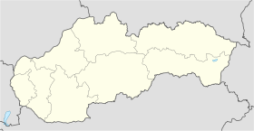 Ludanice
Localisation dans la région de Nitra Internet Site de la commune http://www.obecludanice.sk Sources Resultat des élections http://www.e-obce.sk [1] http://www.statistics.sk [2] http://www.slovakregion.sk/ [3] Ludanice (allemand : Ludanitz, hongrois : Nyitraludány)[4] est un village de Slovaquie situé dans la région de Nitra.
Histoire
Première mention écrite du village en 1242.
Notes et références
Catégories :- Village de Slovaquie
- Village et ville du district de Topoľčany


Wikimedia Foundation. 2010.