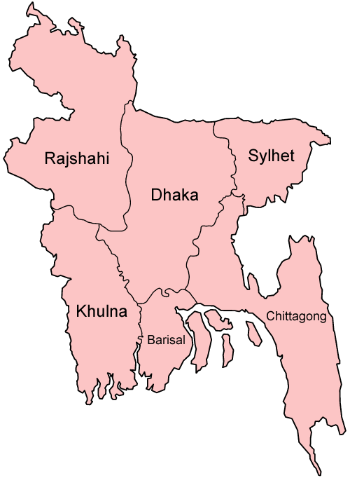
Chandpur (district)
- Chandpur (district)
-
Wikimedia Foundation.
2010.
Contenu soumis à la licence CC-BY-SA. Source : Article Chandpur (district) de Wikipédia en français (auteurs)
Regardez d'autres dictionnaires:
Chandpur District — Chandpur চাঁদপুর District Location of Chandpur i … Wikipedia
Chandpur District — Admin ASC 2 Code Orig. name Chāndpur District Country and Admin Code BD.84.09 BD … World countries Adminstrative division ASC I-II
Chandpur District — noun One of the eleven districts in the Chittagong Division of Bangladesh … Wiktionary
Chandpur Sadar Upazila — Chandpur Sadar চাঁদপুর সদর Upazila … Wikipedia
Chandpur — may refer to: Chandpur District, a district in Bangladesh, part of the Chittagong Division Chandpur, Bijnor, a town in Uttar Pradesh, India the Chandpur meteorite of 1885, which fell in Uttar Pradesh, India Chandpur, Basirhat, a town in West… … Wikipedia
Chandpur (zila) — Capital Chandpur Entidad Zila … Wikipedia Español
Chandpur, Ghola — Chandpur town … Wikipedia
Chandpur, Bijnor — For other places with the same name, see Chandpur (disambiguation). Chandpur city Coordinates Country India State … Wikipedia
Shariatpur District — Infobox of BD districts native name = Shariatpur skyline = skyline size = skyline caption = locator position = right latd = 23.21 longd = 90.35 division name = Dhaka Division population as of = 1991 population total = 1,057,181 population density … Wikipedia
Lakshmipur District — For the village in Barisal, see Lakshmipur, Barisal Division. Infobox of BD districts native name = Lakshmipur skyline = skyline size = skyline caption = locator position = right latd = 22.9500 longd = 90.8250 division name = Chittagong Division… … Wikipedia