Satkhira (district)
Contenu soumis à la licence CC-BY-SA. Source : Article Satkhira (district) de Wikipédia en français (auteurs)
Regardez d'autres dictionnaires:
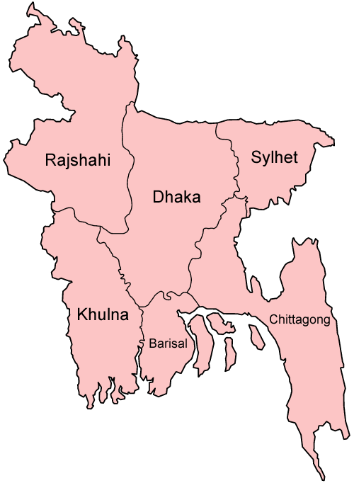
Satkhira District — Infobox of BD districts native name = Satkhira skyline = skyline size = skyline caption = locator position = right latd = 22.35 longd = 89.08 division name = Khulna Division population as of = 1991 population total = 1,843,194 population density … Wikipedia
Satkhira District — Admin ASC 2 Code Orig. name Sātkhira District Country and Admin Code BD.82.58 BD … World countries Adminstrative division ASC I-II
Satkhira District — noun One of the ten districts in the Khulna Division of Bangladesh … Wiktionary
Satkhira Sadar Upazila — Infobox of upazilas native name = Satkhira Sadar locator position = right latd = 22.7167 longd = 89.0750 division name = Khulna Division district = Satkhira District population as of = 1991 population total = 344444 population density = 859 area… … Wikipedia
Kaliganj Upazila, Satkhira — Infobox of upazilas native name = Kaliganj locator position = right latd = 22.4500 longd = 89.0417 division name = Khulna Division district = Satkhira District population as of = 1991 population total = 225596 population density = 676 area total … Wikipedia
Khulna District — Infobox of BD districts native name = Khulna skyline = skyline size = skyline caption = locator position = right latd = 22.35 longd = 89.30 division name = Khulna Division population as of = 1991 population total = 2,334,285 population density =… … Wikipedia
Nawabganj District — Chapai Nawabganj চাঁপাই নওয়াবগঞ্জ District Coordinates … Wikipedia
Natore District — Natore District Uttara Gano Bhaban, earlier known as Natore Rajbadi, is n … Wikipedia
Mymensingh District — Mymensingh ময়মনসিংহ District Office of the District Commissioner of Mymensingh … Wikipedia
Chuadanga District — Chuadanga চুয়াডাঙা District Location of Chuadanga in Bangladesh … Wikipedia