Bogra (district)
Contenu soumis à la licence CC-BY-SA. Source : Article Bogra (district) de Wikipédia en français (auteurs)
Regardez d'autres dictionnaires:
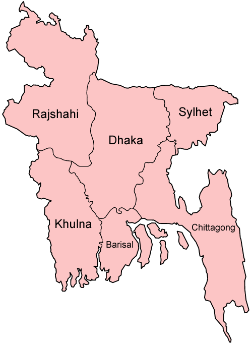
Bogra District — Infobox of BD districts native name = Bogra skyline = BD Mahasthangarh1.jpg skyline size = skyline caption = Ramparts of Mahasthangarh citadel in Bogra locator position = right latd = 24.78 longd = 89.35 division name = Rajshahi Division… … Wikipedia
Bogra District — Admin ASC 2 Code Orig. name Bogra District Country and Admin Code BD.83.03 BD … World countries Adminstrative division ASC I-II
Bogra District Stadium — is a multi use stadium in Bogra, Bangladesh. It is currently used mostly for cricket matches. The stadium holds 15,000 people and opened in 2004 … Wikipedia
Bogra District — noun One of the eight districts in the Rajshahi Division of Bangladesh … Wiktionary
Bogra — This article is about the city. For the district, see Bogra District. For the cantonment, see Bogra Cantonment. For the former Prime Minister of Pakistan, see Mohammad Ali Bogra Bogra ( bn. বগুড়া} town is one of the oldest towns in Northern… … Wikipedia
Bogra Zilla School — Infobox School name = Bogra Zilla School motto = Shikkhar Uddessho Monusshotto Orjon established = 1853 type = Public affiliation = district = Bogra grades = president = principal = Current Head Master = Md. Shafiqur Rahman dean = faculty = 50… … Wikipedia
Bogra Sadar Upazila — Infobox of upazilas native name = Bogra Sadar locator position = right latd = 24.8417 longd = 89.3750 division name = Rajshahi Division district = Bogra District population as of = 1991 population total = 588783 population density = 1400 area… … Wikipedia
Bogra Cantonment — is a cantonment located in Bogra, a northern district of Bangladesh. Among the 16 other cantonments of the Military of Bangladesh Bogra Cantonment is very important. The Armoured Corps Center School (ACC S), and the Non Commissioned Officers… … Wikipedia
Shibganj Upazila, Bogra — Infobox of upazilas native name = Shibganj locator position = right latd = 25.0167 longd = 89.3167 division name = Rajshahi Division district = Bogra District population as of = 1991 population total = 312773 population density = 992 area total … Wikipedia
Sirajganj District — Infobox of BD districts native name = Sirajganj skyline = skyline size = skyline caption = locator position = right latd = 24.33 longd = 89.62 division name = Rajshahi Division population as of = 1991 population total = 2,707,011 population… … Wikipedia