Habiganj (district)
- Habiganj (district)
-
Wikimedia Foundation.
2010.
Contenu soumis à la licence CC-BY-SA. Source : Article Habiganj (district) de Wikipédia en français (auteurs)
Regardez d'autres dictionnaires:
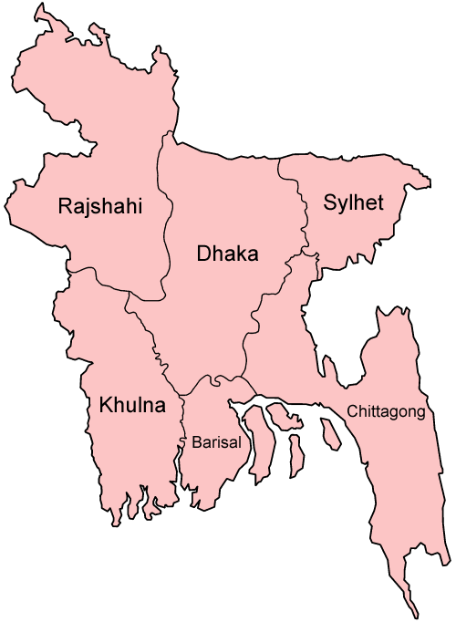
Habiganj District — Infobox of BD districts native name = Habiganj skyline = skyline size = skyline caption = locator position = right latd = 24.38 longd = 91.42 division name = Sylhet Division population as of = 1991 population total = 1757331 population density =… … Wikipedia
Habiganj District — Admin ASC 2 Code Orig. name Habiganj District Country and Admin Code BD.86.20 BD … World countries Adminstrative division ASC I-II
Habiganj District — noun One of the four districts in the Sylhet Division of Bangladesh … Wiktionary
Habiganj (zila) — Habiganj হবিগঞ্জ Zila (distrito) de Bangladés … Wikipedia Español
Habiganj Sadar Upazila — Infobox of upazilas native name = Habiganj Sadar locator position = right latd = 24.3750 longd = 91.4167 division name = Sylhet Division district = Habiganj District population as of = 1991 population total = 225469 population density = 889 area… … Wikipedia
Habiganj — is a town located approximately 120 miles North East of the capital Dhaka bordering Assam, within the relatively wealthy district of Sylhet. Villages within the Habiganj sub district border include Mirpur, Togli, Paniunda, Shataiyaal, Bahubal and … Wikipedia
Brahmanbaria District — Infobox of BD districts native name = Brahmanbaria skyline = skyline size = skyline caption = locator position = right latd = 23.9528 longd = 91.1167 division name = Chittagong Division population as of = 1991 population total = 2365880… … Wikipedia
Maulvi Bazar District — Maulvi Bazar মৌলভীবাজার জেলা District Tea gardens of Sreemangal in Malvibazar district … Wikipedia
Sylhet District — Infobox of BD districts native name = Sylhet skyline = skyline size = skyline caption = Typical tea gardens in Sylhet District locator position = left latd = 24.92 longd = 92.00 division name = Sylhet Division population as of = 1991 population… … Wikipedia
Mymensingh District — Mymensingh ময়মনসিংহ District Office of the District Commissioner of Mymensingh … Wikipedia