Arzakan

Arzakan

40° 26′ 58″ N 44° 36′ 23″ E / 40.449444, 44.606389

Arzakan
Արզական
Administration
Pays Drapeau d'Arménie Arménie
Région Kotayk
Maire Norik Movsesyan[1]
(2008)
Géographie
Coordonnées 40° 26′ 58″ Nord
       44° 36′ 23″ Est
/ 40.449444, 44.606389
Altitude 1 455 m
Superficie 3 455 ha = 34,55 km2
Démographie
Population 2 906 hab.
Densité 84,1 hab./km2
Localisation
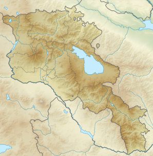
Voir la carte topographique
Arzakan
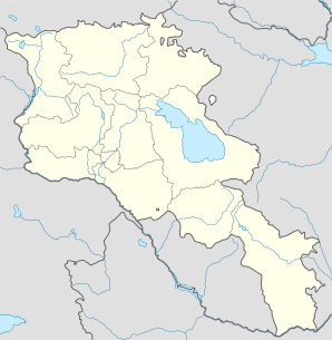
Voir la carte administrative
Arzakan

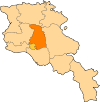
Arzakan (en arménien Արզական ; anciennement Arzakyand[2]) est une communauté rurale du marz de Kotayk, en Arménie. Elle compte 2 906 habitants en 2008[3].

Notes et références

  1. (hy+en) Central Electoral Commission of the Republic of Armenia. Consulté le 24 janvier 2011.
    Pour obtenir la page en anglais, cliquez sur le drapeau arménien en haut à gauche, et sélectionnez « English » ; ensuite, dans le menu vertical de gauche, cliquez sur « Local », sélectionnez le marz pertinent, puis la dernière élection correspondant à la communauté voulue.
  2. (en) Brady Kiesling, Rediscovering Armenia, 2000, p. 56  [lire en ligne (page consultée le 25 mars 2010)] .
  3. (en) ArmStat, Marzes of the Republic of Armenia in figures, 2008, « RA Kotayk Marz », 2008. Consulté le 11 mai 2009.

Wikimedia Foundation. 2010.

Contenu soumis à la licence CC-BY-SA. Source : Article Arzakan de Wikipédia en français (auteurs)

Игры ⚽ Поможем сделать НИР

Regardez d'autres dictionnaires:

  • Arzakan — Coordinates: 40°26′58″N 44°36′23″E / 40.44944°N 44.60639°E / 40.44944; 44.60639 …   Wikipedia

  • Arzakan — Original name in latin Arzakan Name in other language Arzakan, Arzakyand, Арзакан State code AM Continent/City Asia/Yerevan longitude 40.44997 latitude 44.60648 altitude 1489 Population 2660 Date 2012 01 17 …   Cities with a population over 1000 database

  • Арзакан — Село Арзакан Արզական Страна АрменияАрмения …   Википедия

  • Nor Hachn — Coordinates: 40°18′07″N 44°34′59″E / 40.30194°N 44.58306°E / 40.30194; 44.58306 …   Wikipedia

  • Yerevan — For other uses, see Yerevan (disambiguation). Coordinates: 40°11′00″N 44°31′00″E …   Wikipedia

  • Geghard — For the town, see Geghard, Armenia. Geghard Monastery Գեղարդի վանք Jamatun/first rock cut chamber …   Wikipedia

  • Hrazdan — For other places with the same name, see Hrazdan (disambiguation). Hrazdan Հրազդան Hrazdan …   Wikipedia

  • Leuville Cemetery — Leuville sur Orge is a French town 25 km south of Paris whose cemetery is a burial ground to many prominent Georgian political emigres who had left country after the Soviet invasion of Georgia of 1921. Among them are the members of the Government …   Wikipedia

  • Tsaghkadzor — For the village in Azerbaijan, see Tsaxkadzor. Tsaghkadzor Ծաղկաձոր General view of the Tsaghkadzor valley …   Wikipedia

  • Haghpat Monastery — Monasteries of Haghpat and Sanahin UNESCO World Heritage Sites Հաղպատավանք The Church of Sourb Nshan at Haghpat Monastery …   Wikipedia

Share the article and excerpts

Direct link
Do a right-click on the link above
and select “Copy Link”