Tebua Tarawa

Tebua Tarawa
Tebua Tarawa
Géographie
Pays Drapeau des Kiribati Kiribati
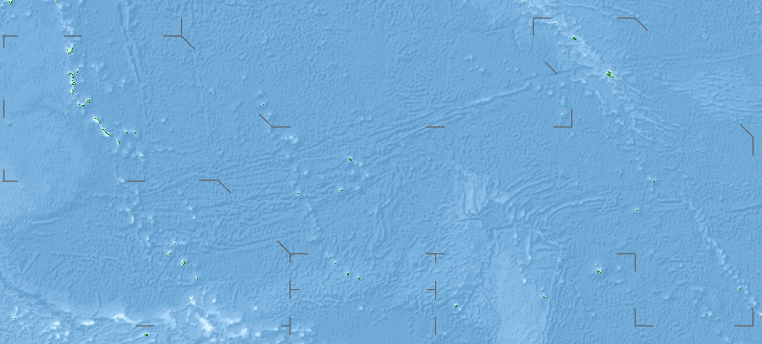
Archipel Makin
Localisation Océan Pacifique
Coordonnées 3° 20′ 15″ N 172° 58′ 53″ E / 3.337483, 172.9814533° 20′ 15″ N 172° 58′ 53″ E / 3.337483, 172.981453
Géologie Île corallienne
Administration
Démographie
Population Aucun habitant
Autres informations
Fuseau horaire UTC+12

Géolocalisation sur la carte : Kiribati

(Voir situation sur carte : Kiribati)
Tebua Tarawa
Tebua Tarawa
Îles des Kiribati

Tebua Tarawa est une petite île inhabitée des Kiribati situé dans les îles Gilbert, dans l'archipel de Makin[1].

Géographie

Tebua Tarawa est située dans l'océan Pacifique, juste au nord de l'équateur. De forme arrondie, elle est entourée au nord par l'île d'Aonbike et au sud par l'île de Kiebu.

Le littoral de Tebua Tarawa est constitué par des plages de sable entourées d'une barrière de corail. L'île est couverte d'une végétation luxuriante.

Le climat de Tebua Tarawa est de type tropical. Il est caractérisé par une pluviométrie abondante atteignant une moyenne annuelle de quatre mètres.

Références


Wikimedia Foundation. 2010.

Contenu soumis à la licence CC-BY-SA. Source : Article Tebua Tarawa de Wikipédia en français (auteurs)

Игры ⚽ Поможем написать курсовую

Regardez d'autres dictionnaires:

  • Tarawa — is an atoll in the central Pacific Ocean, previously the capital of the former British colony of the Gilbert and Ellice Islands. It is the location of the capital of the Republic of Kiribati, South Tarawa. The island is known by outsiders as… …   Wikipedia

  • Tarawa — (norte) y Maiana (sur) desde el espacio (1998). Tarawa es un atolón en el océano Pacífico central que fue la capital de la antigua colonia británica de las Islas Gilbert y Ellice. Tarawa Sur, la parte del sur del atolón, salvo Betio, es ahora la… …   Wikipedia Español

  • Kiribati — This article is about the island nation. For other uses, see Kiribati (disambiguation). Not to be confused with Kiritimati, an island in the Line Islands and part of Kiribati. Republic of Kiribati Ribaberiki Kiribati …   Wikipedia

  • Makin (islands) — NASA Landsat visible color image of Makin, with northeast corner of Butaritari at bottom left …   Wikipedia

  • Carteret-Inseln — Vorlage:Infobox Insel/Wartung/Höhe fehlt Carteret Inseln (Kilinailau) NASA Aufnahme der der Carteret Inseln Gewässer Pazifischer Ozean …   Deutsch Wikipedia

  • Makin —  Pour l’article homonyme, voir Makin (île).  Makin Petite Makin Carte de Makin …   Wikipédia en Français

  • Makin (Inselgruppe) — Vorlage:Infobox Insel/Wartung/Höhe fehlt Makin ISS Bild von Makin Gewässer Pazifischer Ozean Archipel …   Deutsch Wikipedia

  • Aonbike — Géographie Pays  Kiribati Archipel Makin Localisation Océan …   Wikipédia en Français

Share the article and excerpts

Direct link
Do a right-click on the link above
and select “Copy Link”