Topoľovka
- Topoľovka
-
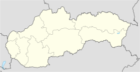
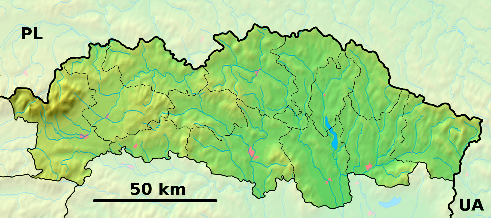
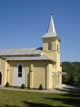
Topoľovka est un village de Slovaquie situé dans la région de Prešov.
Histoire
Première mention écrite du village en 1479.
Notes et références
Catégories :
- Village de Slovaquie
- Village et ville du district de Humenné
Wikimedia Foundation.
2010.
Contenu soumis à la licence CC-BY-SA. Source : Article Topoľovka de Wikipédia en français (auteurs)
Regardez d'autres dictionnaires:
Topoľovka — Geobox|Settlement name = Topoľovka category = Village etymology = official name = motto = nickname = image caption = Main street in Topoľovka, the centre of village. Buildings on the left are the commune council building with civil registry and… … Wikipedia
topôlovka — e ž (ó) 1. bot. užitna lističasta goba z rumeno rjavim klobukom in ukrivljenim vitkim betom, ki raste zlasti ob topolih, Agrecybe aegerita: nabirati topolovke 2. zool. hrošč z modro zelenim ovratnikom in rdečim vratnim ščitom, ki obžira topolove… … Slovar slovenskega knjižnega jezika
Hudcovce — Wappen Karte … Deutsch Wikipedia
Nowotaniec — Coordinates: 49°30′42″N 22°02′11″E / 49.51167°N 22.03639°E / 49.51167; 22.03639 … Wikipedia
Ohradzany — Location of Humenné District in the Prešov Region. Ohradzany is a small village and municipality in Humenné District in the Prešov Region of eastern Slovakia. History In historical records the village … Wikipedia
Humenné District — District Country Slovakia Region ( … Wikipedia
Chlmec — Location of Humenné District in the Prešov Region. Chlmec is a village and municipality in Humenné District in the Prešov Region of north east Slovakia. History In historical records the village was f … Wikipedia
Dedačov — Location of Humenné District in the Prešov Region. Dedačov is a village and municipality in Humenné District in the Prešov Region of north east Slovakia. History In historical records the village was … Wikipedia
Modra nad Cirochou — Location of Humenné District in the Prešov Region. Modra nad Cirochou is a village and municipality in Humenné District in the Prešov Region of north east Slovakia. History In historical records the villa … Wikipedia
Myslina — For the village in Poland, see Myślina. Location of Humenné District in the Prešov Region. Myslina is a village and municipality in Humenné District in the Prešov Region of north east Slovakia. History … Wikipedia
 Slovaquie
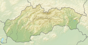
 Topoľovka