Pakostov
- Pakostov
-
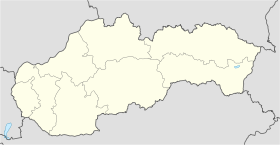
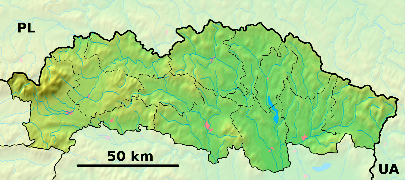
Pakostov est un village de Slovaquie situé dans la région de Prešov.
Histoire
Première mention écrite du village en 1567.
Notes et références
Catégories :
- Village de Slovaquie
- Village et ville du district de Humenné
Wikimedia Foundation.
2010.
Contenu soumis à la licence CC-BY-SA. Source : Article Pakostov de Wikipédia en français (auteurs)
Regardez d'autres dictionnaires:
Pakostov — is a village and municipality in Humenné District in the Prešov Region of north east Slovakia.HistoryIn historical records the village was first mentioned in 1567.GeographyThe municipality lies at an altitude of 206 metres and covers an area of… … Wikipedia
Lucia Zolviková — Lucia Zolviková Informationen über die Spielerin Geburtstag 19. Februar 1985 Geburtsort Poprad, Tschechoslowakei Position Abwehr Vereine in der Jugend … Deutsch Wikipedia
Ohradzany — Location of Humenné District in the Prešov Region. Ohradzany is a small village and municipality in Humenné District in the Prešov Region of eastern Slovakia. History In historical records the village … Wikipedia
Humenné District — District Country Slovakia Region ( … Wikipedia
Chlmec — Location of Humenné District in the Prešov Region. Chlmec is a village and municipality in Humenné District in the Prešov Region of north east Slovakia. History In historical records the village was f … Wikipedia
Dedačov — Location of Humenné District in the Prešov Region. Dedačov is a village and municipality in Humenné District in the Prešov Region of north east Slovakia. History In historical records the village was … Wikipedia
Modra nad Cirochou — Location of Humenné District in the Prešov Region. Modra nad Cirochou is a village and municipality in Humenné District in the Prešov Region of north east Slovakia. History In historical records the villa … Wikipedia
Myslina — For the village in Poland, see Myślina. Location of Humenné District in the Prešov Region. Myslina is a village and municipality in Humenné District in the Prešov Region of north east Slovakia. History … Wikipedia
Nechválova Polianka — Location of Humenné District in the Prešov Region. Nechválova Polianka is a village and municipality in Humenné District in the Prešov Region of north east Slovakia. History In historical records the vill … Wikipedia
Maškovce — Location of Humenné District in the Prešov Region. Maškovce (Hungarian: Maskóc) is a village and municipality in Humenné District in the Prešov Region of north east Slovakia. History In historical r … Wikipedia
 Slovaquie
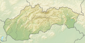
 Pakostov