- Kalolimnos
-
Kalolimnos
Καλόλιμνος (el)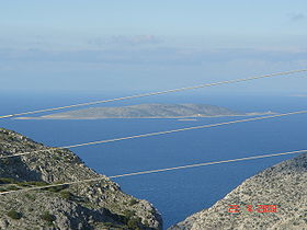
Vue de Kalolimnos depuis KalymnosGéographie Pays  Grèce
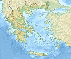
GrèceArchipel Dodécanèse Localisation Mer Égée (mer Méditerranée) Coordonnées Superficie 1,95 km2 Géologie Île continentale Administration GrècePériphérie Égée-Méridionale Nome Dodécanèse Démographie Population 20 hab. (2001) Densité 10,26 hab./km2 Autres informations Fuseau horaire UTC+2 Site officiel www.kalymnos-isl.gr/ Géolocalisation sur la carte : Grèce
 Kalolimnos
Îles de Grèce Kalolimnos (en grec moderne : Καλόλιμνος) est une petite île de la mer Égée située dans le Dodécanèse et rattachée à l'île de Kalymnos voisine.
Géographie
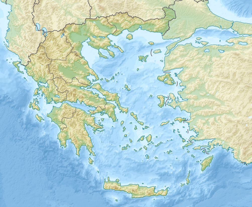
 Carte des îles entourant Kalymnos
Kalolimnos est localisé à 8 km au nord-est de Kalymnos et à 10 km au large des côtes de la Turquie. Il a une taille d'environ 2 km de longueur et de 0.8 km de largeur maximales pour une surface de 1,95 km2. Avec Telendos, Palí, Pserimos, Kyriaki, et Imia, il constitue l'une des îles dépendantes de Kalymnos.
L'île est non peuplée mais accueille en permanence une petite garnison militaire veillant à l'intégrité de la territorialité grecque sur l'île.
Histoire
Catégories :- Île de Grèce
- Île de la mer Égée
- Dodécanèse


Wikimedia Foundation. 2010.