Gugark
- Gugark
-

Pour l’article homonyme, voir
Gougark.
40° 48′ 26″ N 44° 32′ 17″ E / 40.807222, 44.538056
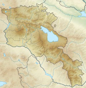
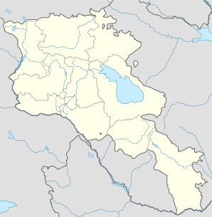
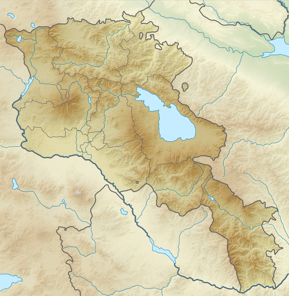
Gugark ou Gugarq (en arménien Գուգարք ; jusqu'en 1945 Yeghaplu, puis jusqu'en 1983 Meghrut[2]) est une communauté rurale du marz de Lorri en Arménie. En 2008, elle compte 6 562 habitants[3].
Notes et références
- ↑ (hy+en) Central Electoral Commission of the Republic of Armenia. Consulté le 24 janvier 2011.
Pour obtenir la page en anglais, cliquez sur le drapeau arménien en haut à gauche, et sélectionnez « English » ; ensuite, dans le menu vertical de gauche, cliquez sur « Local », sélectionnez le
marz pertinent, puis la dernière élection correspondant à la communauté voulue.
- ↑ (en) Brady Kiesling, Rediscovering Armenia, 2000 [lire en ligne (page consultée le 25 mars 2010)] .
- ↑ (en) ArmStat, Marzes of the Republic of Armenia in figures, 2008, « RA Lori Marz », 2008. Consulté le 20 septembre 2009.
Wikimedia Foundation.
2010.
Contenu soumis à la licence CC-BY-SA. Source : Article Gugark de Wikipédia en français (auteurs)
Regardez d'autres dictionnaires:
Gugark' — Original name in latin Gugark’ Name in other language Gugark, Gugark , Gugark’, Meghrut, Megrut, Yagublu, Гугарк State code AM Continent/City Asia/Yerevan longitude 40.8046 latitude 44.54025 altitude 1320 Population 4705 Date 2012 01 17 … Cities with a population over 1000 database
Gugark — For the village, see Gugark, Armenia. Gugark ( hy. Գուգարք also known as Gogarene) was a region of the old Armenia c. 400 ndash;800, also know as Gougarq now comprising parts of northern Armenia, northeast Turkey, and southwest Georgia. The ruler … Wikipedia
Gugark, Armenia — Coordinates: 40°48′26″N 44°32′17″E / 40.80722°N 44.53806°E / 40.80722; 44.53806 … Wikipedia
Gugark — noun One of 15 provinces of Greater Armenia located on its north, also called Gogarene. Now divided between northern Armenia, southern Georgia and northeastern Turkey. Syn: Gogarene … Wiktionary
Akhtala — For the town in Kotayk Province, see Hrazdan; for the nearby town sometimes also called Akhtala, see Verin Akhtala. Coordinates: 41°08′N 44°46′E / 41.133°N 44.767°E … Wikipedia
Championnat d'Arménie de baseball — Infobox compétition sportive Championnat d Arménie de baseball Création 1994 Organisateur(s) ABL Catégorie Division 1 Lieu … Wikipédia en Français
Vanadzor — Seal … Wikipedia
Gougark — Pour l’article homonyme, voir Gugark. Le Gougark, Gugark’ (en arménien Գուգարք) ou la Gogarène est la treizième province de l Arménie historique selon Anania de Shirak[1]. Son territoire correspond aujourd hui au nord de l Arménie, au … Wikipédia en Français
Yohannes Gugarats — (modern Armenian spelling Hovhannes) was an Armenian military leader in early 18th century. He was one of the companions of David Bek moving to Syunik from the northern Armenian region of Gugark circa 1722. According to Ghukas Sebastatsi s… … Wikipedia
Akhtala monastery — Infobox religious building building name=Akhtala Ախթալա վանք caption= Akhtala monastery complex. location=Lori, Armenia geo= religious affiliation=Armenian Apostolic district= consecration year= status= leadership= website= architect=… … Wikipedia
 Arménie