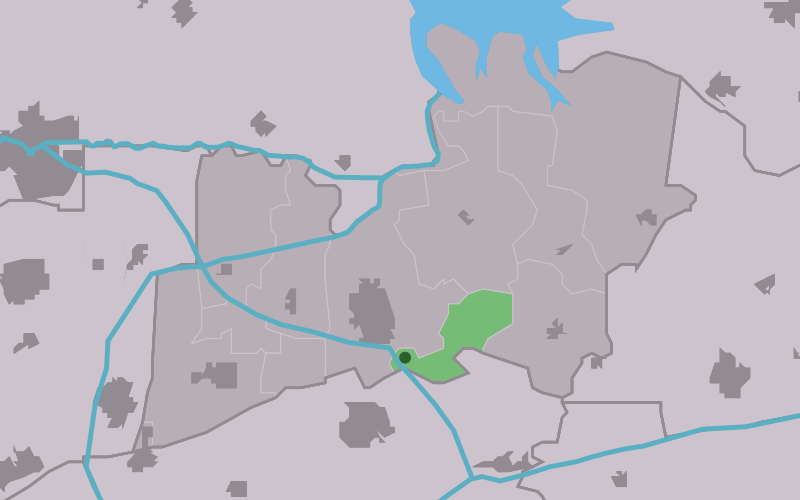
Augsbuurt
Contenu soumis à la licence CC-BY-SA. Source : Article Augsbuurt de Wikipédia en français (auteurs)
Regardez d'autres dictionnaires:
Augsbuurt — Infobox Settlement official name = Augsbuurt mapsize = 280px subdivision type = Country subdivision name = flagicon|Netherlands Netherlands subdivision type1 = Province subdivision name1 = flagicon|Friesland Friesland settlement type = Village… … Wikipedia
Lytsewâld — Augsbuurt Augsbuurt Vue de la localité sur la carte des Pays Bas Pays & … Wikipédia en Français
Kollumerland en Nieuwkruisland — Héraldique … Wikipédia en Français
Kollumerland c.a. — Infobox Settlement official name = Kollumerland c.a. image seal size = 70px mapsize = 280px subdivision type = Country subdivision name = Netherlands subdivision type1 = Province subdivision name1 = Friesland area footnotes = (2006) area total… … Wikipedia
List of places in the Netherlands — This is an alphabetical list of places (cities, towns, villages) in the Netherlands. Lists per province can be found at:* List of towns in Groningen * List of towns in Friesland * List of towns in Drente * List of towns in Overijssel * List of… … Wikipedia
Kollum — Gemeinde Kollumerland en Nieuwkruisland Flagge Wappen … Deutsch Wikipedia
Kollumerland c.a. — Gemeinde Kollumerland en Nieuwkruisland Flagge Wappen … Deutsch Wikipedia
Kollumerland en Nieuwkruisland — Gemeinde Kollumerland en Nieuwkruisland Flagge Wappen Provinz Friesland … Deutsch Wikipedia
Aldwâld — Oudwoude Oudwoude Vue de la localité sur la carte des Pays Bas Pays … Wikipédia en Français
Boerum — Burum 53°16′25″N 6°13′45″E / 53.27361, 6.22917 … Wikipédia en Français
 Pays-Bas