Aedermannsdorf

Aedermannsdorf
Aedermannsdorf
Une vue d'ensemble de la commune serait la bienvenue
Administration
Pays Suisse Armoiries de la commune.
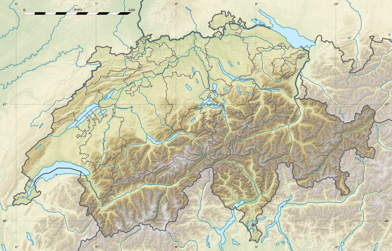
Canton Soleure
District Thal
Langue Allemand
N° OFS 2421
Code postal 4714
Site Web http://www.aedermannsdorf.ch
Géographie
Superficie 12,88 km²[1]
Altitude 531
Coordonnées 47° 18′ 25″ N 7° 36′ 40″ E / 47.306942, 7.61112647° 18′ 25″ N 7° 36′ 40″ E / 47.306942, 7.611126 
Communes limitrophes
(voir carte)
Beinwil, Mümliswil-Ramiswil, Matzendorf, Herbetswil, Rumisberg(BE), Seehof(BE), Schelten(BE)
Démographie
Population 551 (31 décembre 2009)[2]
Densité 42,8 hab./km²
Localisation

Localisation de Aedermannsdorf en Suisse.

Aedermannsdorf est une commune suisse du canton de Soleure, située dans le district de Thal.
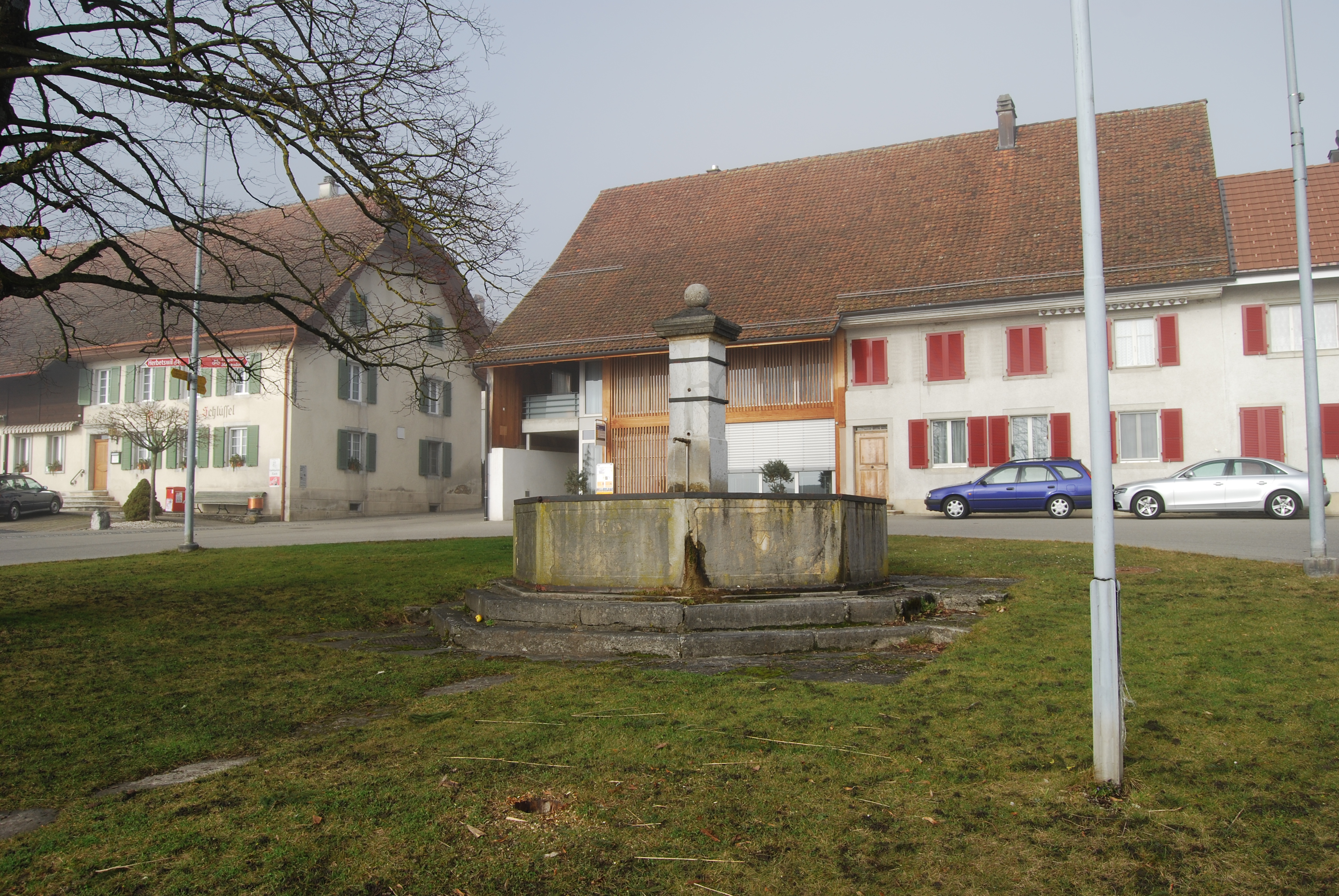
Aedermannsdorf


Notes et références

  1. Statistique de la superficie 2004/09 : Données communales sur Office fédéral de la Statistique. Consulté le 23 septembre 2010
  2. Bilan de la population résidante permanente (total) selon les districts et les communes, en 2009 sur Office fédéral de la Statistique. Consulté le 1er septembre 2010

Sur les autres projets Wikimedia :


Wikimedia Foundation. 2010.

Contenu soumis à la licence CC-BY-SA. Source : Article Aedermannsdorf de Wikipédia en français (auteurs)

Игры ⚽ Поможем написать реферат

Regardez d'autres dictionnaires:

  • Aedermannsdorf — Basisdaten Staat: Schweiz Kanto …   Deutsch Wikipedia

  • Aedermannsdorf — Escudo …   Wikipedia Español

  • Aedermannsdorf — Infobox Swiss town subject name = Aedermannsdorf municipality name = Aedermannsdorf municipality type = municipality imagepath coa = Aedermannsdorf blason.png|pixel coa= languages = German canton = Solothurn iso code region = CH SO district =… …   Wikipedia

  • Geissflue (Aedermannsdorf) — f1 Geissflue Höhe 1 102 m ü. M. Lage Kanton Solothurn, Schweiz Gebirge Jura …   Deutsch Wikipedia

  • Ädermannsdorf — Aedermannsdorf Basisdaten Kanton: Solothurn Bezirk: Thal …   Deutsch Wikipedia

  • Bezirk Thal — Basisdaten Kanton: Solothurn Hauptort: Balsthal BFS Nr.: 1102 Fläche: 139.33 km² Einwohner: 14410 (2007) Bevölkerungsdichte: 103.42 Einw./km² …   Deutsch Wikipedia

  • Mümliswil — Ramiswil Basisdaten Kanton: Solothurn Bezirk: Thal …   Deutsch Wikipedia

  • Ramiswil — Mümliswil Ramiswil Basisdaten Kanton: Solothurn Bezirk: Thal …   Deutsch Wikipedia

  • Эдермансдорф — Коммуна Эдермансдорф Aedermannsdorf Герб …   Википедия

  • Matzendorf SO — SO ist das Kürzel für den Kanton Solothurn in der Schweiz und wird verwendet, um Verwechslungen mit anderen Einträgen des Namens Matzendorff zu vermeiden. Matzendorf …   Deutsch Wikipedia

Share the article and excerpts

Direct link
Do a right-click on the link above
and select “Copy Link”