Myslkovice
Contenu soumis à la licence CC-BY-SA. Source : Article Myslkovice de Wikipédia en français (auteurs)
Regardez d'autres dictionnaires:
Myslkovice — Municipality … Wikipedia
Košice u Soběslavi — Košice … Deutsch Wikipedia
List of German exonyms for places in the Czech Republic — Below are links to subpages with more detailed listings of the German language names of towns and villages in different regions of the Czech Republic. Many of these German names are now exonyms, but used to be endonyms commonly used by the local… … Wikipedia
Tábor District — Okres Tábor District Tábor city … Wikipedia
Chýnov — Coordinates: 49°24′24.37″N 14°48′40.38″E / 49.4067694°N 14.8112167°E / 49.4067694; 14.8112167 … Wikipedia
Alt Tabor — Sezimovo Ústí … Deutsch Wikipedia
Alttabor — Sezimovo Ústí … Deutsch Wikipedia
Balklhota — Balkova Lhota … Deutsch Wikipedia
Balkova Lhota — Balkova Lhota … Deutsch Wikipedia
Bechyne — Bechyně … Deutsch Wikipedia
 République tchèque
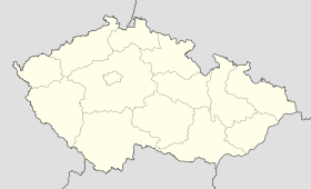
 Myslkovice