Bechyne
- Bechyne
-
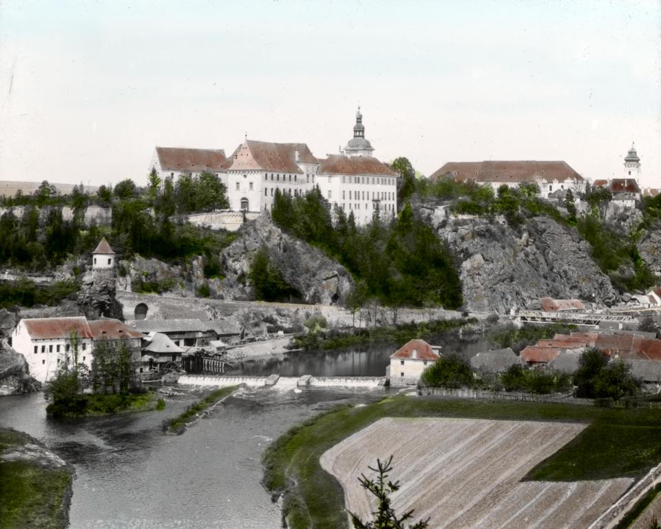
Bechyně
Bechyně (autrefois en français Béchin) est une ville de Bohême du Sud, en République tchèque, d'environ 5 800 habitants.
Elle était autrefois le chef-lieu du district de Tabor.
voir aussi
Notes et références
 Portail de la Tchéquie
Catégories : Ville de Tchéquie | Station thermale tchèque
Wikimedia Foundation.
2010.
Contenu soumis à la licence CC-BY-SA. Source : Article Bechyne de Wikipédia en français (auteurs)
Regardez d'autres dictionnaires:
Bechyne — Bechyně … Deutsch Wikipedia
Bechyně — Bechyně … Deutsch Wikipedia
Bechyně — Héraldique Dra … Wikipédia en Français
BECHYNE — (Get. Bechin), town in Bohemia, Czech Republic. Legends are connected with R. Ḥayyim, living in Bechyne in the 16th century, who apparently forbade the building of a burial hall at the cemetery. Five Jewish taxpayers are mentioned in 1570. In… … Encyclopedia of Judaism
Bechyně — Geobox | Settlement name = Bechyně other name = category = Town image caption = symbol = Bechyne CoA CZ.png etymology = official name = motto = nickname = country = Czech Republic country state = region = South Bohemian region type = Region… … Wikipedia
Bechyně — Sp Bèchinė Ap Bechyně L Čekija … Pasaulio vietovardžiai. Internetinė duomenų bazė
Bechyne — Original name in latin Bechyn Name in other language Bechyn State code CZ Continent/City Europe/Prague longitude 49.29523 latitude 14.4681 altitude 407 Population 5755 Date 2013 01 03 … Cities with a population over 1000 database
Lokalbahn Tábor-Bechyně — Tábor–Bechyně Kursbuchstrecke (ČD): ČD 202 Streckenlänge: 24,091 km Spurweite: 1435 mm (Normalspur) Stromsystem: 1,5 kV = Maximale Neigung: 41 ‰ Minimaler Radius: 125 m Höchstgeschwindigkeit … Deutsch Wikipedia
Lokalbahn Tábor–Bechyně — Tábor–Bechyně Kursbuchstrecke (ČD): ČD 202 Streckenlänge: 24,091 km Spurweite: 1435 mm (Normalspur) Stromsystem: 1,5 kV = Maximale Neigung: 41 ‰ Minimaler Radius: 125 m Höchstgeschwindigkeit … Deutsch Wikipedia
Bahnstrecke Tábor–Bechyně — Tábor–Bechyně Kursbuchstrecke (SŽDC): ČD 202 Streckenlänge: 24,091 km Spurweite: 1435 mm (Normalspur) Stromsystem: 1,5 kV = Maximale Neigung: 41 ‰ Minimaler Radius … Deutsch Wikipedia


 République tchèque
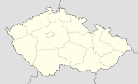
 Bechyně