- Pentland Firth
-
 Pour les articles homonymes, voir Firth.
Pentland Firth 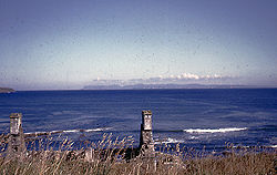
Vue du Pentland Firth depuis la Grande-Bretagne avec les Orcades au loin.Géographie humaine Pays côtier(s)  Royaume-Uni
Subdivision(s)
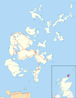
territoriale(s)Écosse Géographie physique Type Détroit Localisation Océan Atlantique Coordonnées Géolocalisation sur la carte : Orcades

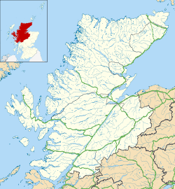
Géolocalisation sur la carte : Highland
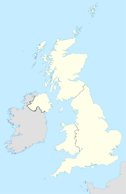
Géolocalisation sur la carte : Royaume-Uni
modifier 
Le Pentland Firth, en gaélique écossais An Caol Arcach qui signifie en français « détroit des Orcades », est un détroit du Royaume-Uni situé en Écosse, entre l'île de Grande-Bretagne au sud et les Orcades au nord. Il relie la mer du Nord à l'est au reste de l'océan Atlantique à l'ouest. Il comporte de nombreuses îles comme Stroma, Swona ou encore les Pentland Skerries qui ont donné son nom au détroit.
Lien externe
 Portail du monde maritime
 Portail de l’Écosse
Catégories :- Détroit d'Écosse
- Détroit de l'océan Atlantique


Wikimedia Foundation. 2010.