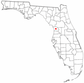
Lecanto
- Lecanto
-
Wikimedia Foundation.
2010.
Contenu soumis à la licence CC-BY-SA. Source : Article Lecanto de Wikipédia en français (auteurs)
Regardez d'autres dictionnaires:
Lecanto — Lecanto … Deutsch Wikipedia
Lecanto — Lugar designado por el censo de los Estados Unidos … Wikipedia Español
Lecanto — Lecanto, FL U.S. Census Designated Place in Florida Population (2000): 5161 Housing Units (2000): 2095 Land area (2000): 27.044994 sq. miles (70.046209 sq. km) Water area (2000): 0.009053 sq. miles (0.023446 sq. km) Total area (2000): 27.054047… … StarDict's U.S. Gazetteer Places
Lecanto, FL — U.S. Census Designated Place in Florida Population (2000): 5161 Housing Units (2000): 2095 Land area (2000): 27.044994 sq. miles (70.046209 sq. km) Water area (2000): 0.009053 sq. miles (0.023446 sq. km) Total area (2000): 27.054047 sq. miles (70 … StarDict's U.S. Gazetteer Places
Lecanto — Original name in latin Lecanto Name in other language State code US Continent/City America/New York longitude 28.85165 latitude 82.4876 altitude 17 Population 5882 Date 2011 05 14 … Cities with a population over 1000 database
Lecanto High School — is a secondary school in Lecanto, Florida. It is a public high school in Citrus County encompassing grades 9 12, with a total school population of approximately 1740 students. LHS provides a broad curriculum to prepare students for further… … Wikipedia
Lecanto Middle School — is a public middle school, situated approximately 79 miles from Tampa, Florida, in the United States. The school serves grades six to eight, and is part of the Citrus County school district. *Student Teacher Ratio:19.2External links*… … Wikipedia
Lecanto, Florida — Infobox Settlement official name = Lecanto, Florida other name = native name = nickname = settlement type = CDP motto = imagesize = image caption = flag size = image seal size = image shield = shield size = image blank emblem = blank emblem type … Wikipedia
34460 — Lecanto, Fl (Miscellaneous » ZIP Codes) … Abbreviations dictionary
34461 — Lecanto, Fl (Miscellaneous » ZIP Codes) … Abbreviations dictionary
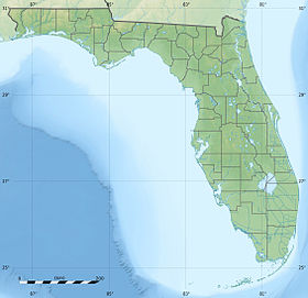
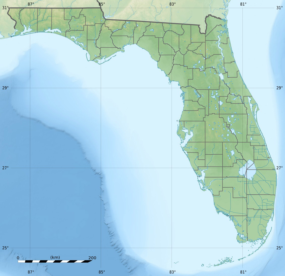
 États-Unis
 Floride