- Kanuma
-
Kanuma-shi (鹿沼市) 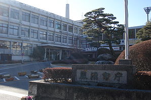
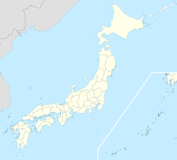
Mairie de KanumaAdministration Pays Japon Région Kantō Préfecture Tochigi Code postal 〒322-0068 Maire Shin Satō Site web Site officiel Démographie Population 102 825 hab. (mars 2010) Densité 210 hab./km2 Géographie Coordonnées Superficie 490,62 km2 Géolocalisation sur la carte : Japon

Emblème

Kanuma (鹿沼市, Kanuma-shi?) est une ville située dans la préfecture de Tochigi, Japon.
Au 1er mars 2010, la ville avait une population estimée à 102 825 habitants et une densité de 210 personnes/km2. Elle s'étend sur 490,62 km2.
La ville a été fondé le 10 octobre 1948.
Elle a hébergé une partie de l'enfance d'Hayao Miyazaki.
Les symboles municipaux sont le cèdre du Japon et le Rhododendron indicum.
Kanuma est desservie par les routes :
- 国道121号 (Route nationale 121)
- 国道293号 (Route nationale 293)
- 国道352号 (Route nationale 352)
Jumelages
Liens externes

Préfecture de Tochigi 
Villes Ashikaga | Kanuma | Mibu | Mooka | Nasukarasuyama | Nasushiobara | Nikkō | Ōtawara | Oyama | Sakura | Sano | Shimotsuke | Tochigi | Utsunomiya (capitale) | Yaita Districts Haga | Kamitsuga | Kawachi | Nasu | Shimotsuga | Shioya Voir aussi : Subdivisions de la préfecture de Tochigi modifier Catégories :- Municipalité de la préfecture de Tochigi
- Ville du Japon


Wikimedia Foundation. 2010.