Goght
- Goght
-
40° 08′ 22″ N 44° 46′ 46″ E / 40.139444, 44.779444
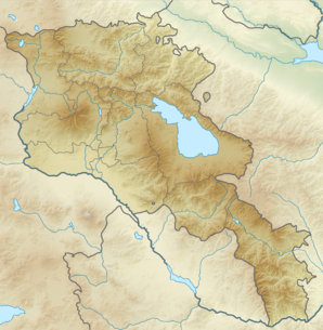
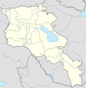
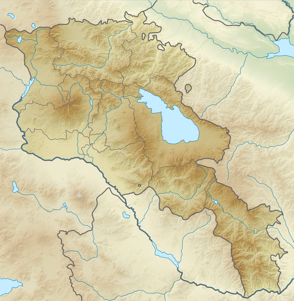
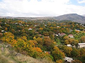
Goght (en arménien Գողթ ; anciennement Goghot[2]) est une communauté rurale du marz de Kotayk, en Arménie. Elle compte 2 135 habitants en 2008[3].
Notes et références
- ↑ (hy+en) Central Electoral Commission of the Republic of Armenia. Consulté le 24 janvier 2011.
Pour obtenir la page en anglais, cliquez sur le drapeau arménien en haut à gauche, et sélectionnez « English » ; ensuite, dans le menu vertical de gauche, cliquez sur « Local », sélectionnez le
marz pertinent, puis la dernière élection correspondant à la communauté voulue.
- ↑ (en) Brady Kiesling, Rediscovering Armenia, 2000, p. 53 [lire en ligne (page consultée le 25 mars 2010)] .
- ↑ (en) ArmStat, Marzes of the Republic of Armenia in figures, 2008, « RA Kotayk Marz », 2008. Consulté le 6 mai 2009.
Sur les autres projets Wikimedia :
Wikimedia Foundation.
2010.
Contenu soumis à la licence CC-BY-SA. Source : Article Goght de Wikipédia en français (auteurs)
Regardez d'autres dictionnaires:
Goght — Infobox Settlement official name =Goght Գողթ native name = pushpin mapsize =150px subdivision type = Country subdivision name = Armenia subdivision type1 = Marz (Province) subdivision name1 =Kotayk leader title = leader name = established title … Wikipedia
Goght' — Original name in latin Goght’ Name in other language Goght , Goght’, Gokht State code AM Continent/City Asia/Yerevan longitude 40.13495 latitude 44.78093 altitude 1574 Population 1877 Date 2012 01 17 … Cities with a population over 1000 database
Havuts Tar — Monasterio de Havuts Tar Հավուց Թառ Վանք Complejo monástico de Havuts tar Ubicación cerca de Goght y Garni (Kotayk) … Wikipedia Español
Geghard — For the town, see Geghard, Armenia. Geghard Monastery Գեղարդի վանք Jamatun/first rock cut chamber … Wikipedia
Hrazdan — For other places with the same name, see Hrazdan (disambiguation). Hrazdan Հրազդան Hrazdan … Wikipedia
Garni Gorge — The Garni Gorge is situated 23 km east of Yerevan, Armenia, just below the village with the same name, and is carved out by where the Goght river runs through. On a promontory above the gorge the 1st century AD Garni temple can be seen. Along the … Wikipedia
Tsaghkadzor — For the village in Azerbaijan, see Tsaxkadzor. Tsaghkadzor Ծաղկաձոր General view of the Tsaghkadzor valley … Wikipedia
Nor Hachn — Coordinates: 40°18′07″N 44°34′59″E / 40.30194°N 44.58306°E / 40.30194; 44.58306 … Wikipedia
Charentsavan — Coordinates: 40°24′35″N 44°38′35″E / 40.40972°N 44.64306°E / 40.40972; 44.64306 … Wikipedia
Arzakan — Coordinates: 40°26′58″N 44°36′23″E / 40.44944°N 44.60639°E / 40.44944; 44.60639 … Wikipedia
 Arménie