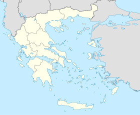
Gastouni
Contenu soumis à la licence CC-BY-SA. Source : Article Gastouni de Wikipédia en français (auteurs)
Regardez d'autres dictionnaires:
Gastouni — Infobox Greek Dimos name = Gastouni name local = Γαστούνη periph = West Greece prefec = Elis province = Elis population = 11523 population as of = 2001 population ref = [http://www.statistics.gr/gr tables/S1101 SAP 1 TB DC 01 03 Y.pdf source] pop … Wikipedia
Gastouni — Original name in latin Gastoni Name in other language Gastouni, Gastoni, Gastuni State code GR Continent/City Europe/Athens longitude 37.85 latitude 21.25 altitude 4 Population 8114 Date 2012 03 04 … Cities with a population over 1000 database
Gastouni — Sp Gastùnė Ap Γαστούνη/Gastouni L V Graikija … Pasaulio vietovardžiai. Internetinė duomenų bazė
Ilia Prefecture — Infobox Pref GR name = Elis name local = Νομός Ηλείας periph = West Greece capital = Pyrgos population = 198,763 population as of = 2005 pop rank = 13th pop dens = 75.9 popdens rank = 13th area = 2,618 area rank = 22nd postal code = 27x xx area… … Wikipedia
Elis — Präfektur Elis (1930–2010) Νομός Ηλείας Basisdaten (April 2010)[1] Staat … Deutsch Wikipedia
Greek National Road 9 — is the second longest national highway of Greece. It runs through the western Peloponnese, from Patras to Pylos. Its length is around 220 km (140 mi). This highway travels near: Bypasses: Patras and Area, since 2002 Vrachneika Alissos… … Wikipedia
Palaiochori, Elis — Palaiochori, Palaiohori, Paleochori or Paleohori (Greek, Modern: Παλαιοχώρι, Ancient/Katharevoussa: on meaning old town ), older forms: Palaiochorio, Palaiochorion, Paleochorio, Paleochorion, Paleochorio, Paleochorion, Paleohorio and Paleohorion… … Wikipedia
Chrysanthos Sisinis — For other uses, see Sisinis. Chrysanthos Sisinis Χρύσανθος Σισίνης Born Gastouni, now Greece Died 1845 Greece … Wikipedia
Kastro-Kyllini — For other uses see Kyllini. Kastro Kyllini Κάστρο Κυλλήνη Location … Wikipedia
Kardiakafti — (Greek, Modern: Καρδιακαύτι, Ancient/Katharevoussa: on) is a village that is in the northwestern part of the municipality of Gastouni in the prefecture of Ilia. It is connected only with one paved road. Distance from Kavasila is 2 km west along… … Wikipedia
 Grèce
Grèce
