Smrečany
- Smrečany
-
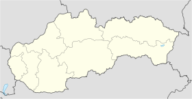
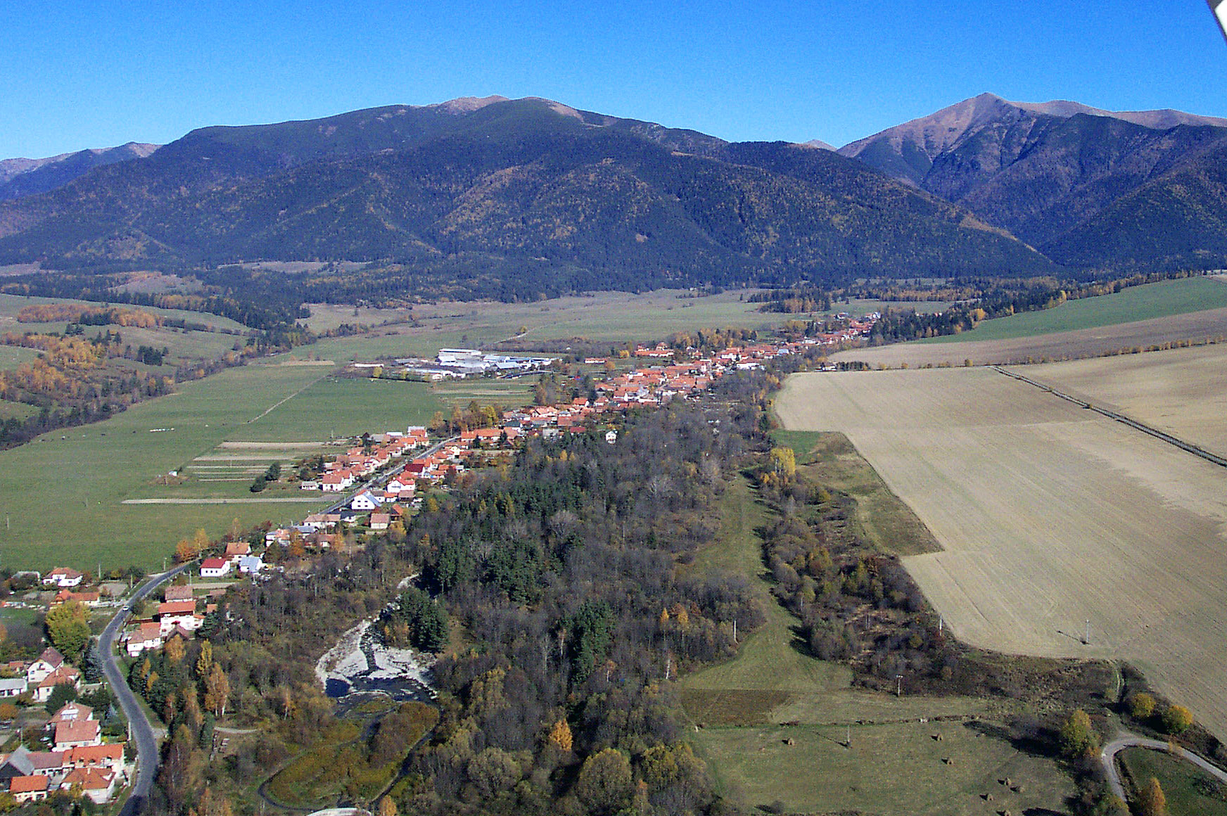
Smrečany (hongrois : Szmrecsán)[4] est un village de Slovaquie situé dans la région de Žilina.
Histoire
La première mention écrite du village date de 1272[2].
Notes et références
Catégories :
- Village de Slovaquie
- Village et ville du district de Liptovský Mikuláš
Wikimedia Foundation.
2010.
Contenu soumis à la licence CC-BY-SA. Source : Article Smrečany de Wikipédia en français (auteurs)
Regardez d'autres dictionnaires:
Smrečany — is a village and municipality in Liptovský Mikuláš District in the Žilina Region of northern Slovakia.HistoryIn historical records the village was first mentioned in 1272.GeographyThe municipality lies at an altitude of 718 metres and covers an… … Wikipedia
District de Liptovský Mikuláš — Liptovský Mikuláš Informations Pays … Wikipédia en Français
List of Slovaks — This is a list of notable people who either: * are or were citizens of Slovakia or Czechoslovakia, * are or were of Slovak identity or ancestry.PoliticsPoliticians (contemporary)*Robert Fico (1964) fourth prime minister of modern Slovakia… … Wikipedia
Liptovský Hrádok — Coordinates: 49°02′15″N 19°43′33″E / 49.0375°N 19.72583°E / 49.0375; 19.72583 … Wikipedia
Žilina Region — Geobox | Region name = Žilina other name = category = Region image caption = symbol = CoA Žilina Region Slovakia.png symbol type = Coat of arms etymology = official name = motto = nickname = country = Slovakia country state = region = district =… … Wikipedia
Liptovský Mikuláš District — District Country Slovakia … Wikipedia
List of municipalities and towns in Slovakia — Slovakia This is a comprehensive list of municipalities and towns in Slovakia. For lists of towns and municipalities sorted by Regions see the individual articles on Regions. For an outdated list of towns only in Slovakia see also List of towns… … Wikipedia
Dúbrava, Liptovský Mikuláš District — Location of Liptovský Mikuláš District in the Zilina Region Dúbrava is a village and municipality in Liptovský Mikuláš District in the Žilina Region of northern Slovakia. History In historical records the … Wikipedia
Demänovská Dolina — Coordinates: 48°58′13″N 19°34′55″E / 48.97028°N 19.58194°E / 48.97028; 19.58194 … Wikipedia
Malé Borové — Location of Liptovský Mikuláš District in the Zilina Region Malé Borové is a village and municipality in Liptovský Mikuláš District in the Žilina Region of northern Slovakia. History In historical records the … Wikipedia

 Slovaquie
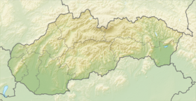
 Smrečany