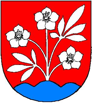
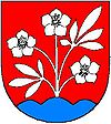
Pohorelá
- Pohorelá
-
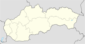
Pohorelá (allemand : Pohorella ,hongrois : Pohorella) est un village de Slovaquie situé dans la région de Banská Bystrica.
Histoire
Première mention écrite du village en 1612.
Notes et références
Catégories :
- Village de Slovaquie
- Village et ville du district de Brezno
Wikimedia Foundation.
2010.
Contenu soumis à la licence CC-BY-SA. Source : Article Pohorelá de Wikipédia en français (auteurs)
Regardez d'autres dictionnaires:
Pohorelá — Wappen Karte … Deutsch Wikipedia
Pohorelá — Geobox | Settlement name = Pohorelá other name = category = Village image caption = symbol = etymology = official name = motto = nickname = country = Slovakia country state = region = Banská Bystrica district = Brezno commune = municipality =… … Wikipedia
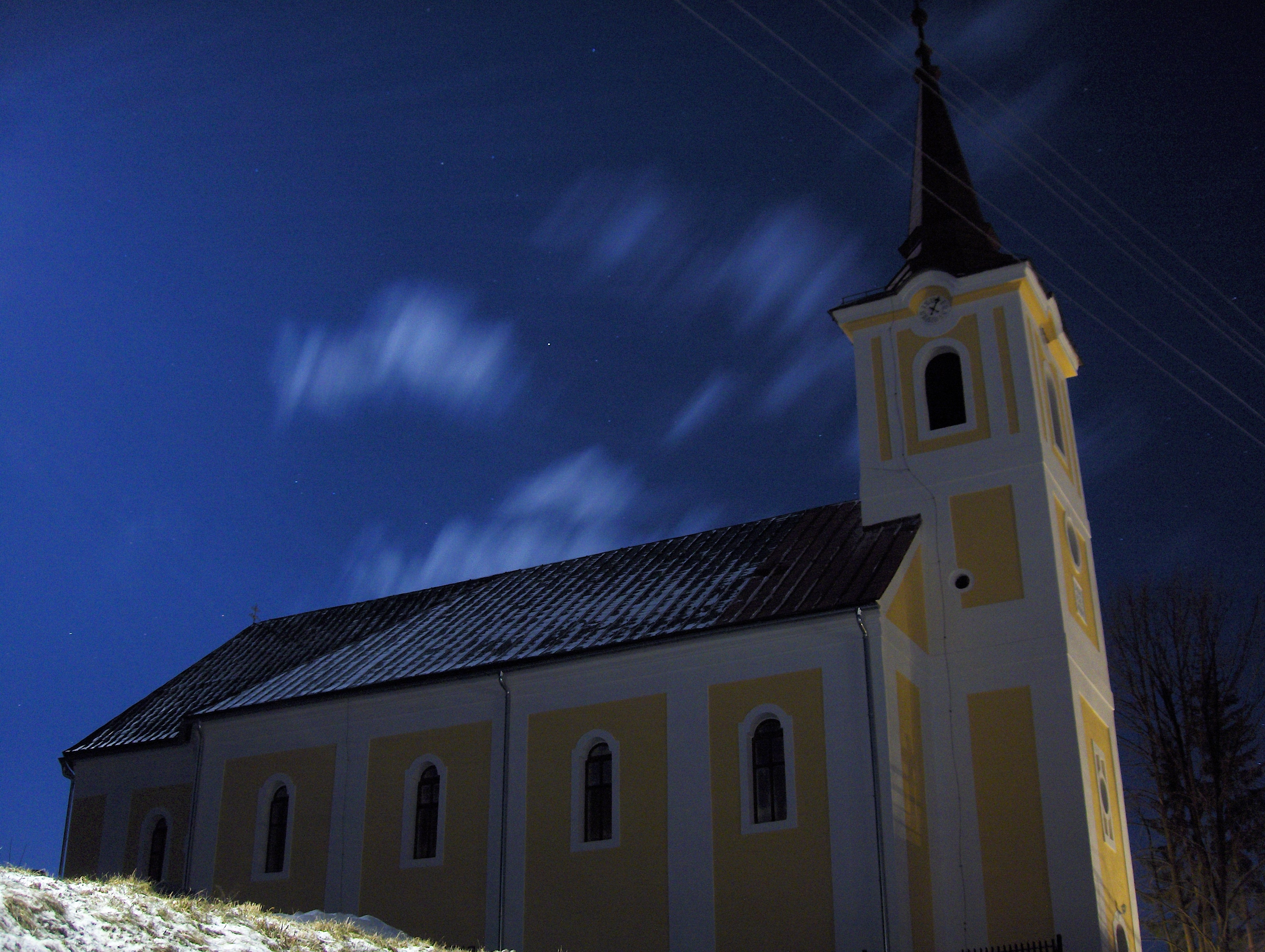
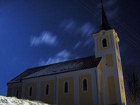
Pohorela church — Geobox|Settlement name = Church of Septemsuffering Virgin Mary in Pohorelá native name = category = etymology = official name = motto = nickname = image caption = Side view during shine of moon. History The church was finished in 1768 from… … Wikipedia
Valkovna — Vaľkovňa Wappen Karte … Deutsch Wikipedia
Vaľkovňa — Wappen Karte … Deutsch Wikipedia
Banská Bystrica Region — Geobox | Region name = Banská Bystrica other name = category = Region image caption = image caption = symbol = symbol type = Coat of arms etymology = official name = motto = nickname = country = Slovakia country state = region = district =… … Wikipedia
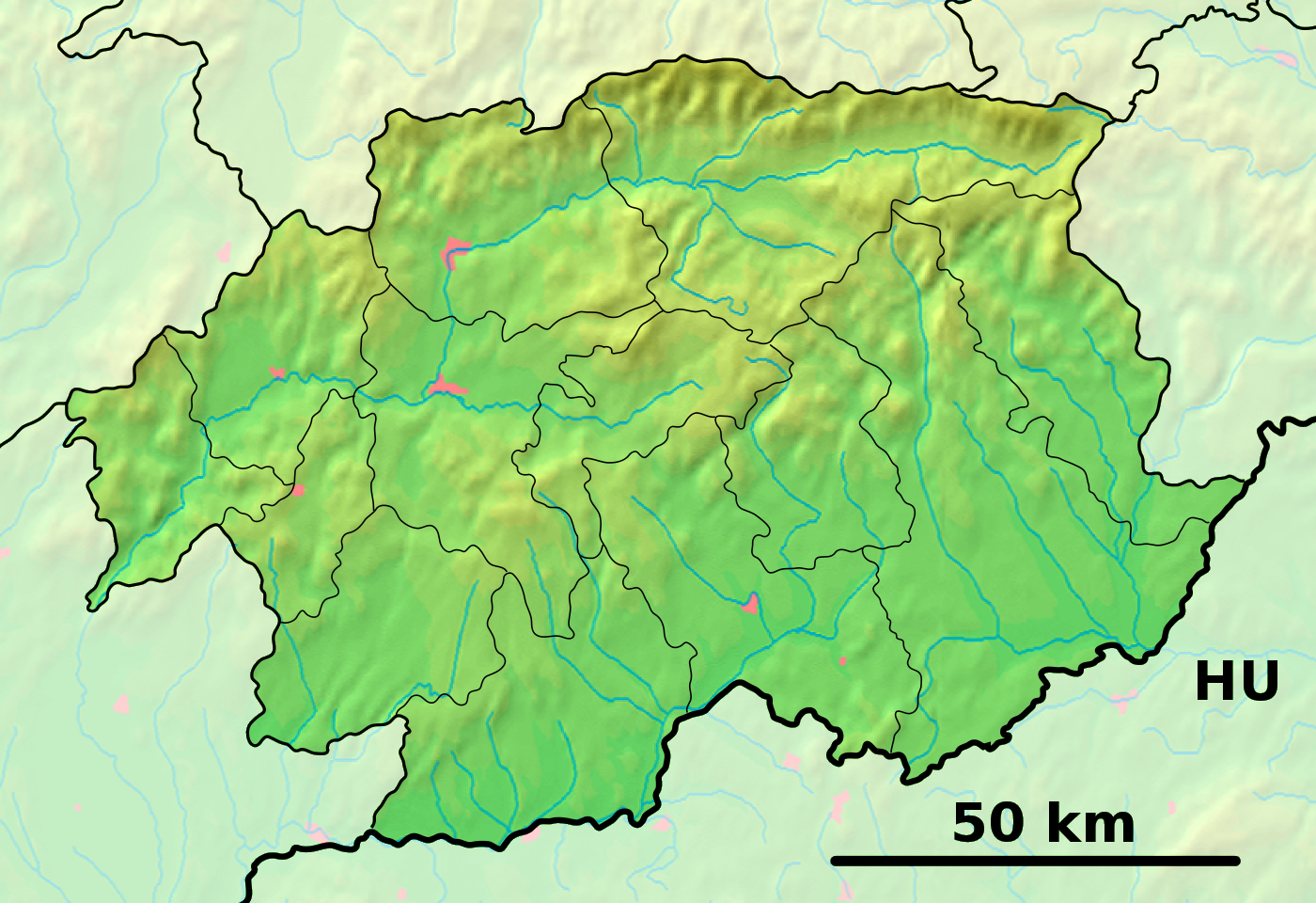
Brezno District — Infobox Slovak district subject name = Brezno District slovak region = Banská Bystrica Region population = 65,785 (2001) prefix = 48 area = 1265 car plate = BR image location = Okres brezno.png Brezno District ( okres Brezno ) is a district inthe … Wikipedia
Čierny Balog — Coordinates: 48°45′N 19°40′E / 48.75°N 19.667°E / 48.75; 19.667 … Wikipedia
Dolná Lehota — Location of Brezno District in the Banská Bystrica Region Dolná Lehota (earlier Dolná Lehôtka, Hungarian: Alsószabadi, before 1907 Alsólehota) is a village and municipality in Brezno District, in the Banská Bystrica Region of central Slovakia … Wikipedia
Drábsko — Location of Brezno District in the Banská Bystrica Region Drábsko (Hungarian: Darabos, Drabszkó) is a village and municipality in Brezno District, in the Banská Bystrica Region of central Slovakia. History Set in the highland plateau, it was … Wikipedia

 Slovaquie
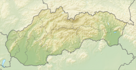
 Pohorelá