Palapye
- Palapye
-
22°33′S 27°08′E / -22.55, 27.133
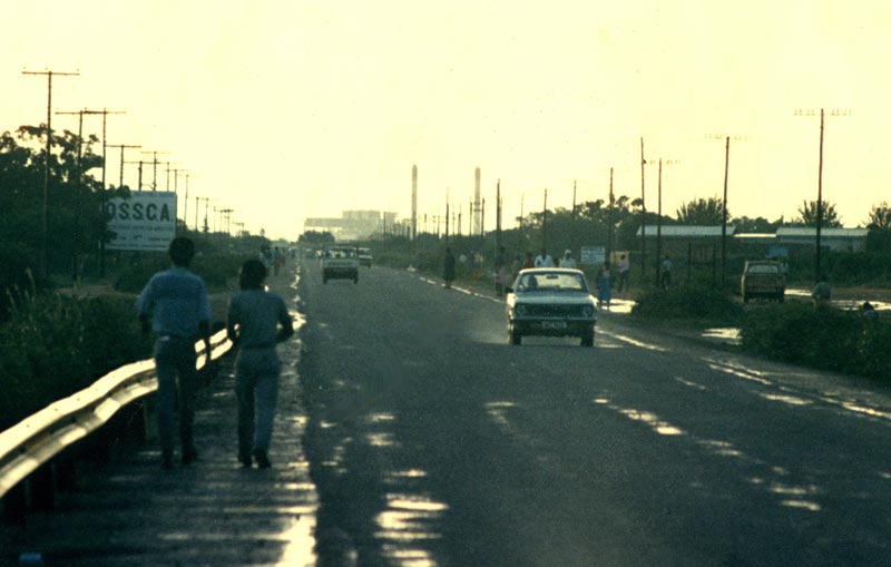
L'axe routier principal (1987)
Palapye est une ville du Botswana, située dans le District central, entre Gaborone, la capitale, et Francistown.
Les vestiges de Phalatswe (également appelée « Old Palapye »), l'ancienne capitale des Bamangwatos, se trouvent à une vingtaine de kilomètres de l'actuelle Palapye.
Palapye comptait 26 293 habitants lors du recensement de 2001[1].
Notes
- ↑ (en) Population of towns, villages and associated localities, Central Statistics Office (Botswana), avril 2002, p. 64 [1]
Voir aussi
Bibliographie
- (en) Lowe Borjeson et Paul J. Lane, Preliminary archaeological investigations at Phalatswe (Old Palapye), in Nyame akuma (Edmonton), no 45, juin 1996, p. 2-10
- (en) Nonofho Mathibidi, « Phalatswe : a 19th century Ngwato capital », in Zebra's voice (Gaborone), 25 (1), 1998, p. 19-20
- (en) Segakweng Seisa, « David Manowe, Palapye's self-taught sculptor », in Zebra's voice (Gaborone), 12 (3) 1985, p. 19-21
- (en) O. J. Van Straten, The Morapule coalfield, Palapye area, Geological Survey Department, Lobatsi, Bechuanaland Protectorate, 1959, 50 p.
- (en) Hans Christian Vorting, « Old Palapye : the deserted capital », , in Lekgapho : Khama III Memorial Museum review (Serowe), vol. 1, 1988-89, p. 34-39
Sur les autres projets Wikimedia :
Wikimedia Foundation.
2010.
Contenu soumis à la licence CC-BY-SA. Source : Article Palapye de Wikipédia en français (auteurs)
Regardez d'autres dictionnaires:
Palapye — Palapye, Bergbauort in Ostbotswana, südöstlich von Serowe, 19 300 Einwohner; landwirtschaftlicher Handel, Baumwoll und Zitruskulturen; Bahnstation. Westlich von Palapye das Steinkohlenbergwerk Morupule … Universal-Lexikon
Palapye — Infobox Settlement official name = PAGENAME other name = native name = nickname = settlement type = motto = imagesize = 300px image caption = Palapye, looking towards Morupule power station, 1987 flag size = image seal size = image shield =… … Wikipedia
Palapye — Original name in latin Palapye Name in other language Palapaye Road, Palapye, Palapye Road, Palatswe, QPH State code BW Continent/City Africa/Gaborone longitude 22.54605 latitude 27.12507 altitude 926 Population 30650 Date 2012 01 18 … Cities with a population over 1000 database
Palapye — Admin ASC 2 Code Orig. name Palapye Country and Admin Code BW.01.7670710 BW … World countries Adminstrative division ASC I-II
Morupule Colliery — Location … Wikipedia
Botswana — /bot swah neuh/, n. a republic in S Africa: formerly a British protectorate; gained independence 1966; member of the Commonwealth of Nations. 1,500,765; 275,000 sq. mi. (712,250 sq. km). Cap.: Gaborone. Formerly, Bechuanaland. * * * Botswana… … Universalium
Gaborone — City From top to bottom: skyline view of Gaborone, statue of Seretse Khama, the city centre of Gaborone, bird s eye view of Gaborone … Wikipedia
History of aviation in Maun — Aviation History of MaunFlying and the use of various types of aircraft in the Maun region can be traced back to the 1920’s.The earliest known flights over the Okavango region took place in July 1925, and were part of a survey of the rivers of… … Wikipedia
Палапье — Город Палапье Palapye Страна БотсванаБотсвана … Википедия
Botswana — Republic of Botswana Lefatshe la Botswana … Wikipedia