Malé Lednice
- Malé Lednice
-
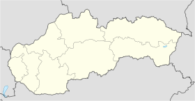
Malé Lednice (hongrois : Kislednic)[4] est un village de Slovaquie situé dans la région de Trenčín.
Histoire
La première mention écrite du village date de 1339[2].
Notes et références
Catégories :
- Village de Slovaquie
- Village et ville du district de Považská Bystrica
Wikimedia Foundation.
2010.
Contenu soumis à la licence CC-BY-SA. Source : Article Malé Lednice de Wikipédia en français (auteurs)
Regardez d'autres dictionnaires:
Malé Lednice — Location of Považská Bystrica District in the Trenčín Region Malé Lednice is a village and municipality in Považská Bystrica District in the Trenčín Region of north western Slovakia. History In historical records the … Wikipedia
Lednice - Valtice area — The Lednice Valtice Area is a scenic area in the Czech Republic.The Garden of Europe spreads in the warmest place of the Czech republic in area close to Mikulov town. This part of land is full of architectural jewels, romantic nooks, unique… … Wikipedia
Liste der Städte und Gemeinden in der Slowakei/M-R — Übersicht M bis R Teil 1 A bis G Teil 2 H bis Ľ Teil 3 M bis R Teil 4 S bis Ž Übersicht M N Ň O P R M Städte und Gemeinden in der Slowakei … Deutsch Wikipedia
Liste der Städte und Gemeinden in der Slowakei Teil 3 — Übersicht M bis R Teil 1 A bis G Teil 2 H bis Ľ Teil 3 M bis R Teil 4 S bis Ž Übersicht M N Ň O P R M Städte und Gemeinden in der Slowakei … Deutsch Wikipedia
List of municipalities and towns in Slovakia — Slovakia This is a comprehensive list of municipalities and towns in Slovakia. For lists of towns and municipalities sorted by Regions see the individual articles on Regions. For an outdated list of towns only in Slovakia see also List of towns… … Wikipedia
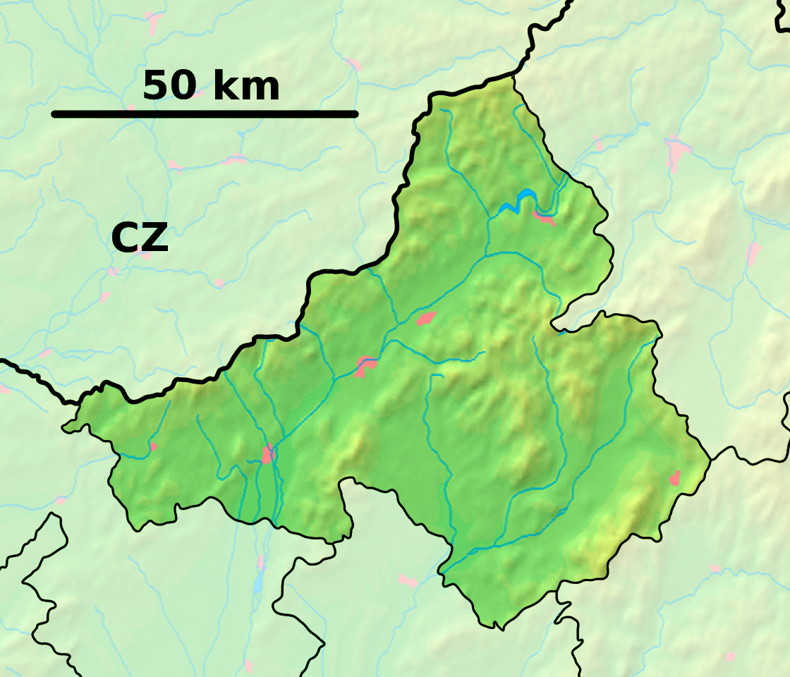
Trenčín Region — Geobox | Region name = Trenčín other name = category = Region image caption = image caption = symbol = Trencin coat of arms.gif symbol type = Coat of arms etymology = official name = motto = nickname = country = Slovakia country state = region =… … Wikipedia
Považská Bystrica District — District Country Slovakia … Wikipedia
Čelkova Lehota — Location of Považská Bystrica District in the Trenčín Region … Wikipedia
Dolná Mariková — Location of Považská Bystrica District in the Trenčín Region Dolná Mariková is a village and municipality in Považská Bystrica District in the Trenčín Region of north western Slovakia. History In historical records the … Wikipedia
Dolný Lieskov — Location of Považská Bystrica District in the Trenčín Region Dolný Lieskov is a village and municipality in Považská Bystrica District in the Trenčín Region of north western Slovakia. History In historical records the … Wikipedia
 Slovaquie
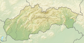
 Malé Lednice