Ivanka pri Nitre
- Ivanka pri Nitre
-
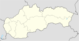
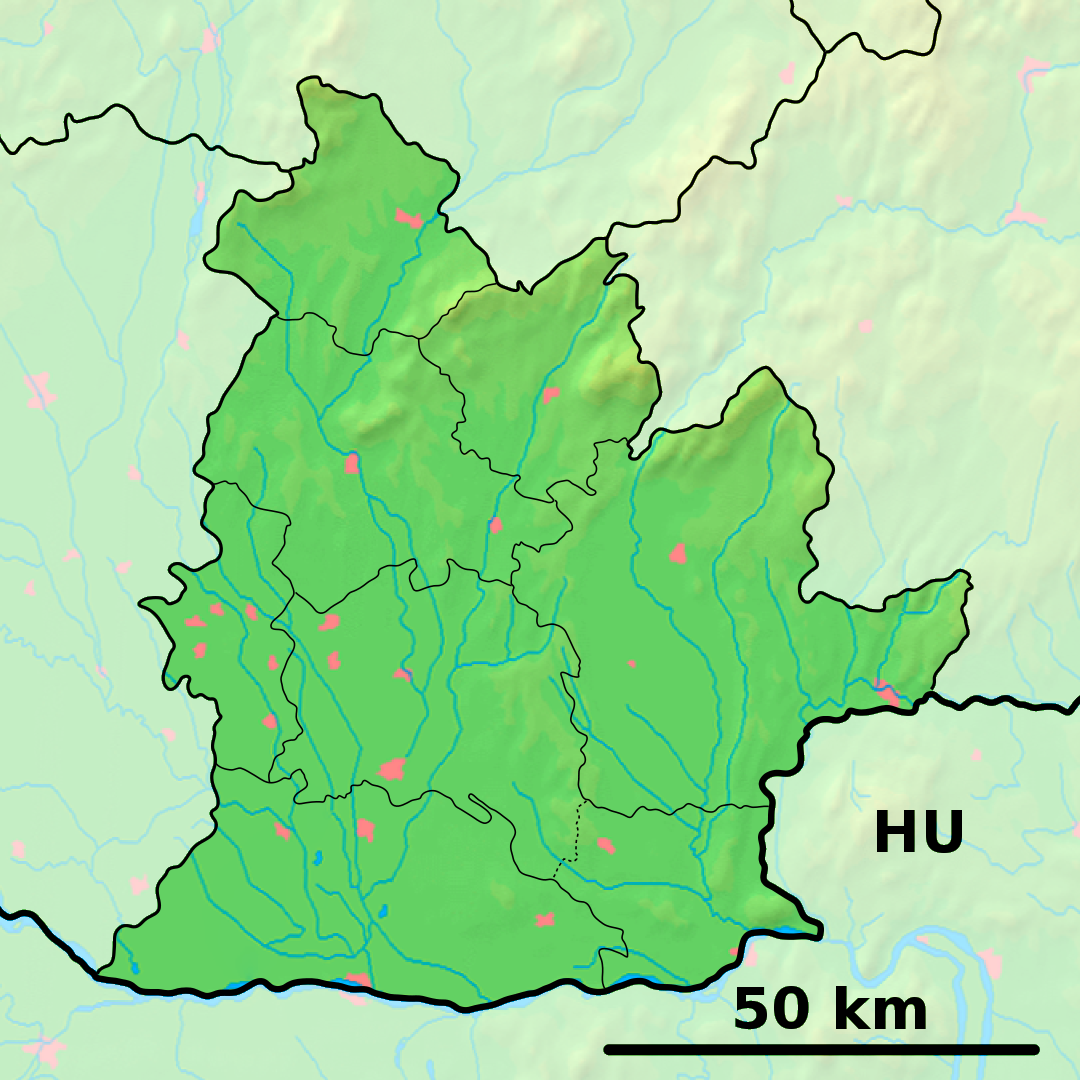
Ivanka pri Nitre (allemand : Iwanka bei Neutra est un village de Slovaquie situé dans la région de Nitra.
Histoire
Première mention écrite du village en 1400.
Notes et références
Catégories :
- Village de Slovaquie
- Village et ville du district de Nitra
Wikimedia Foundation.
2010.
Contenu soumis à la licence CC-BY-SA. Source : Article Ivanka pri Nitre de Wikipédia en français (auteurs)
Regardez d'autres dictionnaires:
Ivanka pri Nitre — Wappen Karte … Deutsch Wikipedia
Ivanka pri Nitre — is a village and municipality in the Nitra District in western central Slovakia, in the Nitra Region.HistoryIn historical records the village was first mentioned in 1400.GeographyThe village lies at an altitude of 146 metres and covers an area of … Wikipedia
Ivanka — steht für: eine Koseform des Vornamens Ivana Ivánka steht für: Ivanka pri Dunaji (ehemals Ivánka), eine Gemeinde in der Slowakei Ivanka pri Nitre (ehemals Ivánka), eine Gemeinde in der Slowakei Ivánka ist der Name folgender Personen: Endre von… … Deutsch Wikipedia
Liste der Städte und Gemeinden in der Slowakei/H-Ľ — Übersicht H bis Ľ Teil 1 A bis G Teil 2 H bis Ľ Teil 3 M bis R Teil 4 S bis Ž Übersicht H CH I J K L Ľ H Städte und Gemeinden … Deutsch Wikipedia
Liste der Städte und Gemeinden in der Slowakei Teil 2 — Übersicht H bis Ľ Teil 1 A bis G Teil 2 H bis Ľ Teil 3 M bis R Teil 4 S bis Ž Übersicht H CH I J K L Ľ H Städte und Gemeinden … Deutsch Wikipedia
Nitra — Wappen Karte … Deutsch Wikipedia
Ligne 140 (Chemin de fer Slovaque) — Ligne 140 Ligne de Nové Zámky à Prievidza Carte de la ligne Pays … Wikipédia en Français
Nitra — If you were looking for a chemical, see nitre or nitro. Coordinates: 48°18′25″N 18°05′11″E / 48.30694°N 18.08639°E / 48.30694; 1 … Wikipedia
List of municipalities and towns in Slovakia — Slovakia This is a comprehensive list of municipalities and towns in Slovakia. For lists of towns and municipalities sorted by Regions see the individual articles on Regions. For an outdated list of towns only in Slovakia see also List of towns… … Wikipedia
Railway station Nitra — is situated at Staničná street in Staré Mesto district. Nearby is a busy bus station and a bus stop of city s public transport.The history of railways in Nitra dates back to the second half of the nineteenth century. Track section Ivanka pri… … Wikipedia
 Slovaquie
 Ivanka pri Nitre