West Bahia Honda Key
Contenu soumis à la licence CC-BY-SA. Source : Article West Bahia Honda Key de Wikipédia en français (auteurs)
Regardez d'autres dictionnaires:
Bahia Honda Key — Infobox protected area | name = Bahia Honda State Park iucn category = V caption = locator x = 236 locator y = 175 location = Monroe County, Florida, USA nearest city = Marathon, Florida lat degrees = 24 lat minutes = 39 lat seconds = 47 lat… … Wikipedia
Bahia Honda Key — Vorlage:Infobox Insel/Wartung/Höhe fehlt Bahia Honda Key Loggerhead Beach (Blickrichtung Ost) Gewässer Golf von M … Deutsch Wikipedia
Key deer — A male Key Deer on No Name Key in the Florida Keys Conservation status … Wikipedia
Key Largo — Coordinates: 25°05′11″N 80°26′50″W / 25.0865°N 80.4473°W / 25.0865; 80.4473 … Wikipedia
Key Deer — Taxobox name = Key Deer status = EN status system = iucn2.3 image caption = A male Key Deer on No Name Key in the Florida Keys image width = 250x200px regnum = Animalia phylum = Chordata classis = Mammalia ordo = Artiodactyla familia = Cervidae… … Wikipedia
National Key Deer Refuge — Coordinates: 24°44′00″N 81°24′00″W / 24.7333333°N 81.4°W / 24.7333333; 81.4 The National Key Deer Refuge is a 8,542 acre (34 … Wikipedia
Spanish Harbor Key — is an island in the lower Florida Keys. U.S. 1 (the Overseas Highway) crosses the keys at approximately mile markers 35 36, between Bahia Honda Key and West Summerland Key. Originally, there were three keys at this location. They were connected… … Wikipedia
Dagny Johnson Key Largo Hammock Botanical State Park — IUCN Category V (Protected Landscape/Seascape) … Wikipedia
Ohio Key — in the lower Florida Keys Ohio Key is an island in the lower Florida Keys. U.S. 1 (or the Overseas Highway) crosses the key at approximately mile marker 39, between Missouri Key and Bahia Honda Key. It was once known as Little Duck Key, however… … Wikipedia
Cudjoe Key, Florida — CDP Location in … Wikipedia
 États-Unis
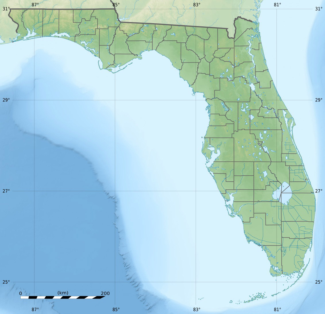
 West Bahia Honda Key