Rawaki
- Rawaki
-
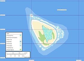
Rawaki est un atoll des îles Phœnix, appartenant à la République des Kiribati.
Son nom en gilbertin désigne également l'ensemble de l'archipel des Phœnix.
Des centaines de milliers d'oiseaux pondent sur l'atoll.
Lien externe
Sur les autres projets Wikimedia :
Wikimedia Foundation.
2010.
Contenu soumis à la licence CC-BY-SA. Source : Article Rawaki de Wikipédia en français (auteurs)
Regardez d'autres dictionnaires:
Rawaki — Vorlage:Infobox Insel/Wartung/Fläche fehltVorlage:Infobox Insel/Wartung/Höhe fehlt Rawaki Karte der Insel Rawaki Gewässer … Deutsch Wikipedia
Rawaki — Admin ASC 2 Code Orig. name Rawaki Country and Admin Code KI.03.RA KI … World countries Adminstrative division ASC I-II
Rawaki Island — is one of the Phoenix Islands in the Republic of Kiribati, also known by its previous name of Phoenix Island. It is a small, uninhabited atoll, approximately 1.2 by 0.8 km in size and 65 hec. in area, with a shallow, brackish central lagoon that… … Wikipedia
Isla Rawaki — La Isla Rawaki es una isla del grupo de islas Fénix en la República de Kiribati, previamente conocida como Isla Fénix. Es un atolón pequeño y deshabitado, de aproximadamente 1,2 por 0,8 km, con 65 ha, con una laguna central que no se comunica con … Wikipedia Español
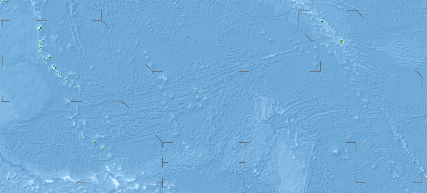
Phoenix Islands — The Phoenix Islands are a group of eight atolls and two submerged coral reefs, lying in the central Pacific Ocean east of the Gilbert Islands and west of the Line Islands. They are a part of the Republic of Kiribati. During the late 1930s they… … Wikipedia
Phoenix-Insel — NASA Bild der Insel Rawaki Rawaki (engl.: Rawaki Island, früher Phoenix Insel) ist die östlichste, und mit 1,2 km mal 0,8 km auch die zweitkleinste Koralleninsel innerhalb der Gruppe der kiribatischen Phoenixinseln. Sie liegt im zentralen… … Deutsch Wikipedia
Phoenix Island — NASA Bild der Insel Rawaki Rawaki (engl.: Rawaki Island, früher Phoenix Insel) ist die östlichste, und mit 1,2 km mal 0,8 km auch die zweitkleinste Koralleninsel innerhalb der Gruppe der kiribatischen Phoenixinseln. Sie liegt im zentralen… … Deutsch Wikipedia
Islas Fénix — (o Phoenix o Rawaki) Localización geográfica / administrativa Océano (mar) Océano Pacífico Continente (sub) Oceanía … Wikipedia Español
Nikomaruru — Lage der Phoenixinseln im zentralen Pazifik Lage der einzelnen Atolle und Riffe Die Gruppe der Phoenixinseln sind eine von drei Inselgruppen des Inselstaats … Deutsch Wikipedia
Phoenix-Inseln — Lage der Phoenixinseln im zentralen Pazifik Lage der einzelnen Atolle und Riffe Die Gruppe der Phoenixinseln sind eine von drei Inselgruppen des Inselstaats … Deutsch Wikipedia
 Kiribati
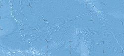
 Rawaki