Nospelt
- Nospelt
-
Wikimedia Foundation.
2010.
Contenu soumis à la licence CC-BY-SA. Source : Article Nospelt de Wikipédia en français (auteurs)
Regardez d'autres dictionnaires:
Nospelt — Nospelt: Centre of the village Nospelt (Luxembourgish: Nouspelt) is a village in the commune of Kehlen, in south western Luxembourg. As of 2005 … Wikipedia
Celtic Luxembourg — existed during the period from roughly 600 BC until 100 AD, when the Celts inhabited what is now the territory of the Grand Duchy of Luxembourg. Their culture was well developed, especially from the 1st century BC as can be seen from the remains… … Wikipedia
Kehlen (Luxemburg) — Wappen Karte Basisdaten Distrikt … Deutsch Wikipedia
Titelberg — Plan des Oppidum Titelberg gemäß archäologischen Erkenntnissen. Titelbe … Deutsch Wikipedia
Kehlen — (lb) Kielen (de) Kehlen … Wikipédia en Français
Kehlen — Infobox Luxembourg commune name = Kehlen luxname = Kielen arms = Coat of arms kehlen luxbrg.png LAU2 = 09006 canton = Capellen district = LuxembourgKehlen ( lb. Kielen) is a commune and town in western Luxembourg. It is part of the canton of… … Wikipedia
Titelberg — ( lb. Tëtelbierg) is the site of a large Celtic settlement or oppidum in the extreme south west of Luxembourg. In the 1st century BC, this thriving community was probably the capital of the Treveri people. The site thus provides telling evidence… … Wikipedia
History of Luxembourg — The history of Luxembourg is inherently entwined with the histories of surrounding countries, peoples, and ruling dynasties. Over time, the territory of Luxembourg has been eroded, whilst its ownership has changed repeatedly, and its political… … Wikipedia
Capellen — ( lb. Kapellen: Kap/Kapellen, de. Kapellen) is a town in the commune of Mamer, in south western Luxembourg, 12 km west of Luxembourg City. As of 2006, the town has a population of 1,336. Despite not having a commune named after it, Capellen lends … Wikipedia
Goeblange — ( lb. Giewel, de. Goeblingen) is a village in the commune of Koerich, in southern Luxembourg about 13 km west of Luxembourg City. As of 2005, the village has a population of 425.LocationGoeblange lies 321 m above sea level on the CR 109 from… … Wikipedia
 Nospelt
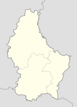

 Luxembourg