Nakusp
- Nakusp
-
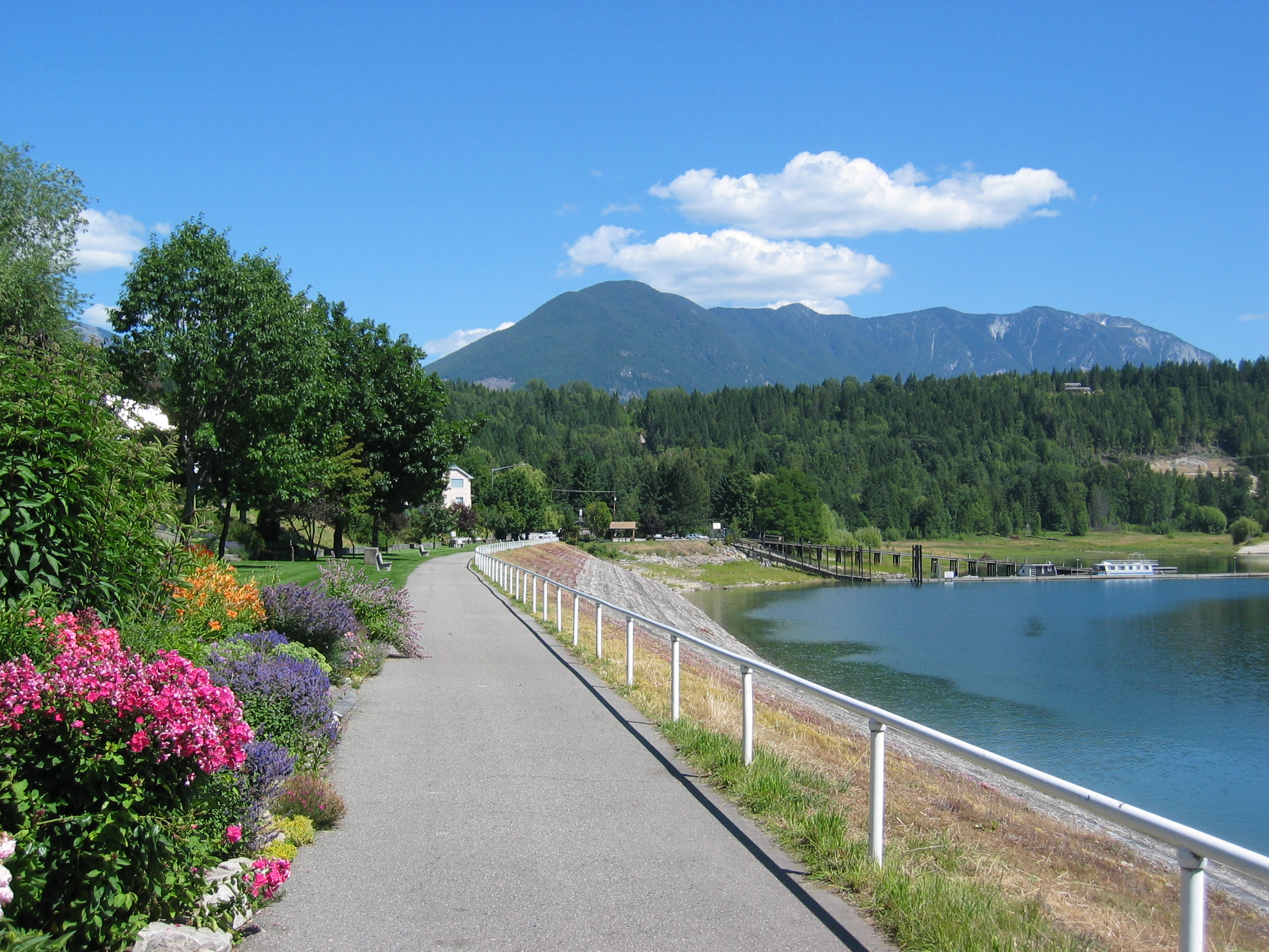
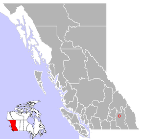
Nakusp est un village canadien située sur Upper Arrow Lake (un élargissement du fleuve Columbia) dans la région West-Kootenay dans la province de la Colombie-Britannique. Avec un population d'environ 1600, le village est connu pour ses sources chaudes.

La promenade du bord du lac
Situation
Chronologie municipale
Histoire
Toponyme
Économie
Municipalités limitrophes
Voir aussi
Liens externes
Catégories :
- Village de Colombie-Britannique
- Ville sur le Columbia
Wikimedia Foundation.
2010.
Contenu soumis à la licence CC-BY-SA. Source : Article Nakusp de Wikipédia en français (auteurs)
Regardez d'autres dictionnaires:
Nakusp — Original name in latin Nakusp Name in other language State code CA Continent/City America/Vancouver longitude 50.24987 latitude 117.80226 altitude 484 Population 1706 Date 2008 04 11 … Cities with a population over 1000 database
Nakusp (sternwheeler) — Nakusp[1][2][3] … Wikipedia
Nakusp Music Fest — Nakusp Music Festival Nakusp Music Fest Logo Location(s) Nakusp, British Columbia, Canada Years active 2004 present Date(s) July 15–17, 2011 Genre Rock … Wikipedia
Nakusp Airport — IATA: none – ICAO: none – TC LID: CAQ5 Summary Airport type Public Operator Village of Nakusp Location … Wikipedia
Nakusp, British Columbia — Village of Nakusp Village … Wikipedia
Nakusp and Slocan Railway — The Nakusp and Slocan Railway (N S) is a historic Canadian railway that operated in southeastern British Columbia. Its line ran between Nakusp, New Denver, British Columbia and Sandon, British Columbia in the Kootenay region of British Columbia.… … Wikipedia
Nakusp Elementary School — Infobox Education in Canada name= Nakusp Elementary imagesize= motto= motto translation= streetaddress= PO Box 250 city= Nakusp province= British Columbia postalcode= V0G 1R0 areacode= 250 phone= 265 3731 fax= 265 3081 email= url= schoolnumber=… … Wikipedia
Nakusp Secondary School — selkirk college Address PO Box 249 Nakusp, British Columbia, V0G 1R0, Canada Information School number 1010006 … Wikipedia
Minto (sternwheeler) — Minto (on right), with Trail on left and Rossland in center, at Arrowhead between 1898 and 1900 Career … Wikipedia
Rossland (sternwheeler) — Rossland was a sternwheel steamboat that ran on the Arrow Lakes in British Columbia. It was named after Rossland, BC, once a prosperous mining town in the region.Design and Construction Rossland was the third steamboat built by the Canadian… … Wikipedia
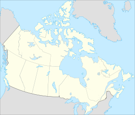
 Canada
 Colombie-Britannique