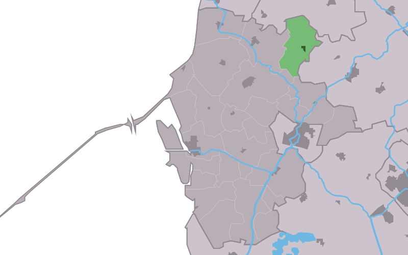
Lollum
Contenu soumis à la licence CC-BY-SA. Source : Article Lollum de Wikipédia en français (auteurs)
Regardez d'autres dictionnaires:
Meerswal, Lollum — Meerswal, September 2008. Origin Mill name Meerswal Mill location … Wikipedia
Bed and Breakfast Lutje Lollum — (Франкер,Нидерланды) Категория отеля: Адрес: Lutje Lollum 1, 8801 PW … Каталог отелей
Kinderdijk — Coordinates: 51°53′N 4°38′E / 51.883°N 4.633°E / 51.883; 4.633 … Wikipedia
List of places in the Netherlands — This is an alphabetical list of places (cities, towns, villages) in the Netherlands. Lists per province can be found at:* List of towns in Groningen * List of towns in Friesland * List of towns in Drente * List of towns in Overijssel * List of… … Wikipedia
Wûnseradiel — Infobox City official name = Wûnseradiel other name = Wonseradeel mapsize = 280px subdivision type = Country subdivision name = Netherlands subdivision type1 = Province subdivision name1 = Fryslân area footnotes = (2006) area total km2 = 317.68… … Wikipedia
De Adriaan, Haarlem — Windmill De Adriaan De Adriaan is a windmill in the Netherlands that burnt down in 1932 and was rebuilt in 2002. The original windmill dates from 1779 and the mill has been a distinctive part of the skyline of Haarlem for centuries. Contents … Wikipedia
Wonseradeel — Gemeinde Wûnseradiel Flagge Wappen Provinz Friesland Bürgermeister Theunis Piersma … Deutsch Wikipedia
Wûnseradiel — Gemeinde Wûnseradiel Flagge Wappen Provinz Friesland … Deutsch Wikipedia
Abbega — 53°1′7″N 5°34′13″E / 53.01861, 5.57028 … Wikipédia en Français
Allingawier — 53°2′50″N 5°26′42″E / 53.04722, 5.445 … Wikipédia en Français
 Pays-Bas