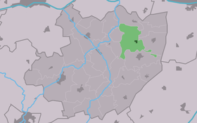
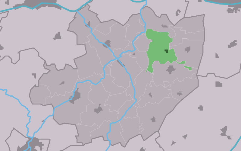
Jorwert
Contenu soumis à la licence CC-BY-SA. Source : Article Jorwert de Wikipédia en français (auteurs)
Regardez d'autres dictionnaires:
Jorwert — (also known as Jorwerd) is a village in Friesland,in the municipality of Littenseradiel, with a population of 360. The nickname for inhabitants of Jorwert is Dweilstikken , meaning poor people who are dependent of rich ones. The village is built… … Wikipedia
Jorwert — Kirche Jorwert (niederl.: Jorwerd) ist ein kleiner Ort mit 310 Einwohnern in der friesischen Gemeinde Littenseradiel. Inhaltsverzeichnis 1 Lage … Deutsch Wikipedia
Jorwerd — Jorwert 53°8′43″N 5°42′43″E / 53.14528, 5.71194 … Wikipédia en Français
István Orosz — The native form of this personal name is Orosz István. This article uses the Western name order. István Orosz Born 24 October 1951 (1951 10 24) (age 60) Kecskemét, Hungary Nationality … Wikipedia
Jorwerd — Kirche Jorwert (niederl.: Jorwerd) ist ein kleiner Ort mit 310 Einwohnern in der friesischen Gemeinde Littenseradiel. Der niederländische Historiker Geert Mak schrieb über dieses kleine Dorf das Buch Wie Gott verschwand aus Jorwerd (niederl. Hoe… … Deutsch Wikipedia
Littenseradeel — Gemeinde Littenseradiel Flagge Wappen Provinz … Deutsch Wikipedia
Wommels — Gemeinde Littenseradiel Flagge Wappen Provinz … Deutsch Wikipedia
Littenseradiel — Infobox Settlement official name = Littenseradiel image seal size = 70px mapsize = 280px subdivision type = Country subdivision name = Netherlands subdivision type1 = Province subdivision name1 = Friesland area footnotes = (2006) area total km2 … Wikipedia
Geert Mak — Geert Ludzer Mak (born 4 december 1946 in Vlaardingen, Zuid Holland) is a Dutch journalist and historian. In the 1980s he worked as parliamentary assistant for the Pacifist Socialist Party.He used the village Jorwert in Friesland as the hook for… … Wikipedia
Littenseradiel — Gemeinde Littenseradiel Flagge Wappen Provinz Friesland … Deutsch Wikipedia
 Pays-Bas