- Zabolotiv
-
Zabolotiv Заболотів 
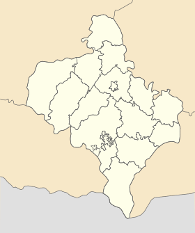
Géolocalisation sur la carte : Oblast d'Ivano-Frankivsk

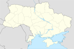
Géolocalisation sur la carte : Ukraine
Coordonnées : Pays  Ukraine
Subdivision  Oblast d'Ivano-Frankivsk
Raïon Sniatyn Maire Ivan Dmytrovytch Première mention 1455 Statut commune urbaine depuis 1940 Population  4 075 hab. (2010)
Densité 2 134 hab./km² Superficie 1,91 km2 Indicatif tél. +380 3476 Code postal 78315 — 78316 Liste des villes d'Ukraine | Carte Zabolotiv (en ukrainien : Заболотів ; en russe : Заболотов, Zabolotov ; en polonais : Zabłotów) est une commune urbaine de l'oblast d'Ivano-Frankivsk, en Ukraine. Sa population s'élevait à 4 075 habitants en 2010.
Sommaire
Géographie
Zabolotiv est arrosée par les rivières Prout et Tourka. Elle se trouve à 65 km au sud-est d'Ivano-Frankivsk, la capitale administrative de l'oblast.
Histoire
La première mention de Zabolotiv remonte à l'année 1455. Une communauté juive (shtetl) y fut fondée en 1790. n 1903, un pogrom prit pour cible la communauté hassidique ; il fut le fait de paysans ruthènes reprochant aux Juifs leur fidélité à la Galicie maajoritairement polonaise. Au recensement de 1910, Zablotow comptait 2 171 Juifs et 2 587 Ruthènes. Après l'effondrement de l'Empire d'Autriche-Hongrie, elle devint polonaise sous le nom de Zabłotów. En septembre 1939, à la suite de la signature du Pacte germano-soviétique, la région fut occupée puis annexée par l'Union soviétique. Zabolotiv accéda au statut de commune urbaine. Elle fut occupée par l'Allemagne nazie le 1er juillet 1941. En 1942, deux mille Juifs, hommes, femmes et enfants, furent tués sur le mont Homovi. Cent quarante jeunes gens et jeunes filles furent déportés pour des travaux forcés en Allemagne. Le 30 mars 1944, l'Armée rouge reprit Zalobotiv, qui fit partie de la République socialiste soviétique d'Ukraine. Elle fait partie d l'Ukraine indépendante depuis 1991.
Population
Recensements (*) ou estimations de la population [1] :
Évolution démographique 2001* 2006 2007 2008 2009 2010 4 185 4 076 4 082 4 071 4 068 4 075 Personnalité
- Manès Sperber (1905-1984), écrivain français.
Transports
Zabolotiv se trouve à 80 km d'Ivano-Frankivsk par le chemin de fer et à 86 km par la route. Les villes les plus proches sont Kolomyia, à 20 km à l'ouest, et Sniatyn à 21 km à l'est, par la route.
Notes et références
- (en) World Gazetteer [1] — (uk) Office des statistiques d'Ukraine : Статистичний збірник «Чисельність наявного населення України на 1 січня 2008 року» [Manuel statistique « Nombre d'habitants de l'Ukraine au 1er janvier 2008 »]. [2] ; «Статистичний збірник "Чисельність наявного населення України на 1 січня 2010 року» [Manuel statistique « Nombre d'habitants de l'Ukraine au 1er janvier 2010 »]. [3]
Liens externes
- (uk) Informations officielles
- (ru) Cartes topographiques
- (uk) Carte routière
Catégories :- Commune urbaine d'Ukraine
- Commune urbaine de l'oblast d'Ivano-Frankivsk


Wikimedia Foundation. 2010.