Vinaninkarena
- Vinaninkarena
-
19° 57′ S 47° 03′ E / -19.95, 47.05
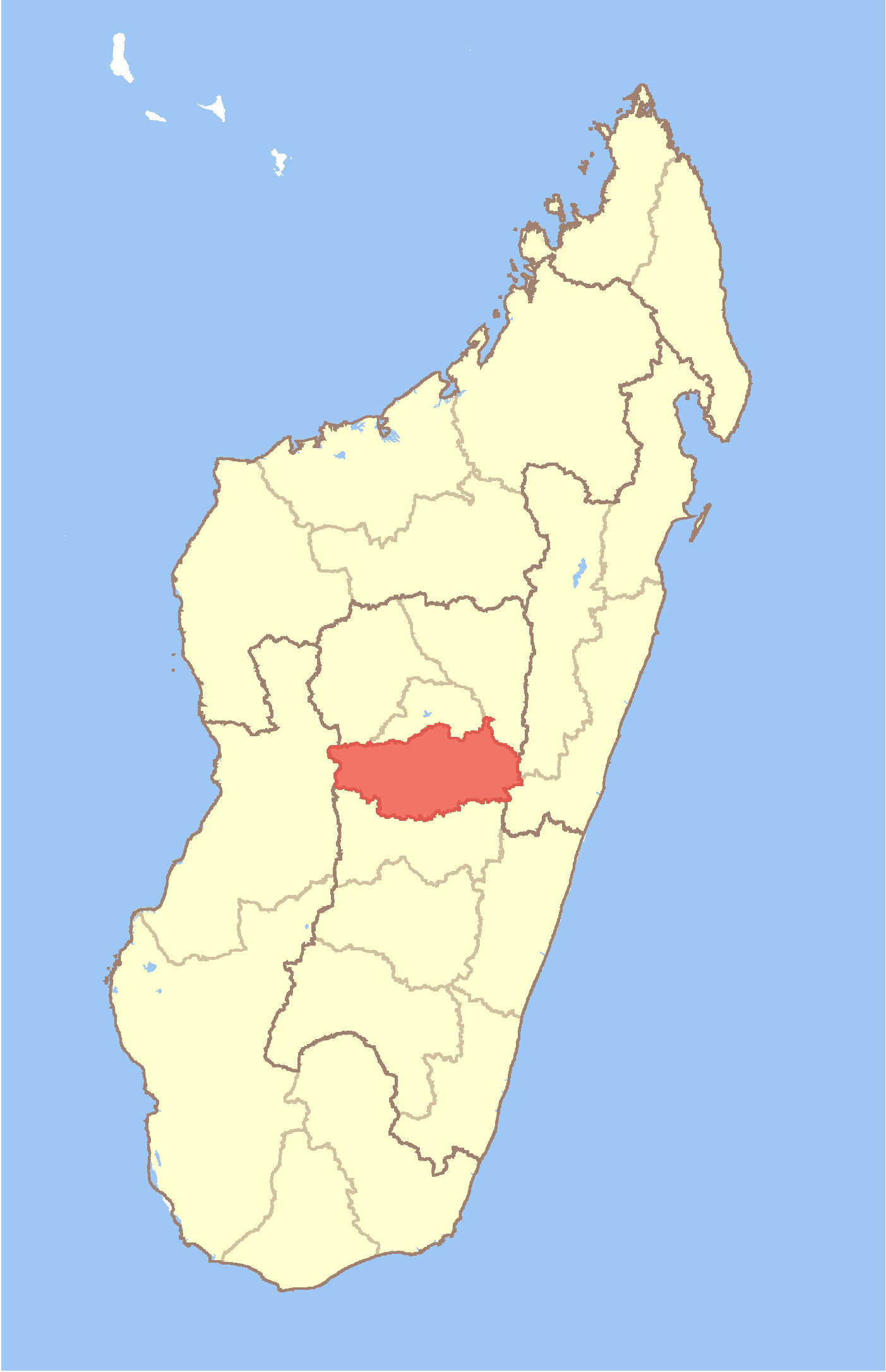
Vinaninkarena est une commune urbaine malgache, située dans la partie sud de la région de Vakinankaratra.
Géographie
Cette section est vide, insuffisamment détaillée ou incomplète.
Votre aide est la bienvenue !
Démographie
Cette section est vide, insuffisamment détaillée ou incomplète.
Votre aide est la bienvenue !
Économie
Cette section est vide, insuffisamment détaillée ou incomplète.
Votre aide est la bienvenue !
Notes et références
Voir aussi
Articles connexes
Wikimedia Foundation.
2010.
Contenu soumis à la licence CC-BY-SA. Source : Article Vinaninkarena de Wikipédia en français (auteurs)
Regardez d'autres dictionnaires:
Vinaninkarena — Infobox Settlement official name = Vinaninkarena other name = native name = nickname = settlement type = motto = imagesize = image caption = flag size = image seal size = image shield = shield size = image blank emblem = blank emblem type = blank … Wikipedia
Antsirabe — is the third largest city in Madagascar and has a population of approximately 183,000. It s the capital of the Vakinankaratra region. The altitude is about 1 500 m, so the climate is rather cool.Antsirabe is the home of Tiko (milk and other food… … Wikipedia
Manjakatompo — Manjakatompo … Wikipedia
Morarano, Ambatolampy — Morarano … Wikipedia
Mangatano — Mangatano … Wikipedia
Manandoana — Manandoana … Wikipedia
Mandrosohasina — Mandrosohasina … Wikipedia
Mahaiza — Mahaiza … Wikipedia
Mandoto — Mandoto … Wikipedia
Mandritsara, Betafo — Mandritsara … Wikipedia
 Madagascar