2e Exloërmond
Contenu soumis à la licence CC-BY-SA. Source : Article 2e Exloërmond de Wikipédia en français (auteurs)
Regardez d'autres dictionnaires:
1e Exloërmond — Eerste Exloërmond 52°55′41″N 6°56′2″E / 52.92806, 6.93389 … Wikipédia en Français
Eerste Exloërmond — 52°55′41″N 6°56′2″E / 52.92806, 6.93389 … Wikipédia en Français
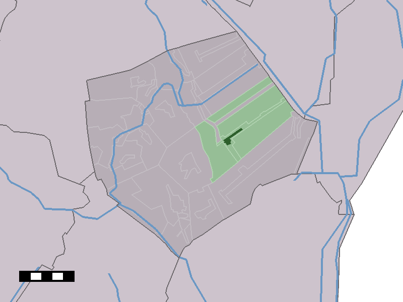
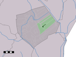
Tweede Exloërmond — 52°54′23″N 6°55′42″E / 52.90639, 6.92833 … Wikipédia en Français
Tweede Exloërmond — Dutch town locator maps mun town caption = The town centre (dark green) and the statistical district (light green) of Tweede Exloërmond in the municipality of Borger Odoorn.Tweede Exloërmond (coord|52|55|N|6|56|E|type:city(1427)) is a town in the … Wikipedia
Eerste Exloërmond — Dutch town locator maps mun town caption = Eerste Exloërmond in the municipality of Borger Odoorn.Eerste Exloërmond (coord|52|56|N|6|56|E|type:city(400)) is a town in the Dutch province of Drenthe. It is a part of the municipality of Borger… … Wikipedia
Mann von Exloermond — Der Mann von Exloermond (niederländisch Exloërmond) ist eine eisenzeitliche Moorleiche, die 1914 im Exloërveen, einem Teil des Bourtanger Moores, bei Odoorn gefunden wurden. Die Moorleiche wird heute im Drents Museum in Assen aufbewahrt. Befunde… … Deutsch Wikipedia
List of cities, towns and villages in Drenthe — This is a list of settlements in the province of Drenthe, in the Netherlands. Name Municipality Coordinates Aalden Coevorden … Wikipedia
Borger-Odoorn — Pour les articles homonymes, voir Borger. Borger Odoorn … Wikipédia en Français
Borger-Odoorn — Gemeinde Borger Odoorn Flagge Wappen Provinz … Deutsch Wikipedia
Exloërkijl — 52°53′41″N 6°55′29″E / 52.89472, 6.92472 … Wikipédia en Français
 Pays-Bas
 Portail des Pays-Bas