Kishoreganj (district)
Contenu soumis à la licence CC-BY-SA. Source : Article Kishoreganj (district) de Wikipédia en français (auteurs)
Regardez d'autres dictionnaires:
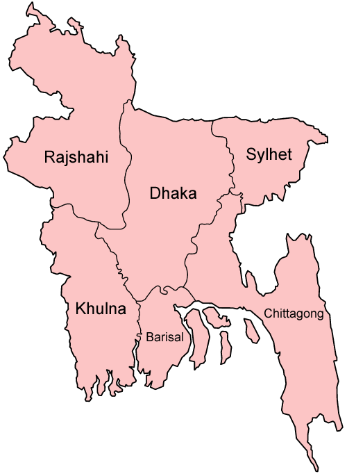
Kishoreganj District — Infobox of BD districts native name = Kishoreganj skyline = skyline size = skyline caption = locator position = right latd = 24.4333 longd = 90.7833 division name = Dhaka Division population as of = 1991 population total = 2,525,221 population… … Wikipedia
Kishoreganj District — noun One of the seventeen districts in the Dhaka Division of Bangladesh … Wiktionary
Kishoreganj (zila) — Capital Kishoreganj Entidad … Wikipedia Español
Kishoreganj Sadar Upazila — Infobox of upazilas native name = Kishoreganj Sadar locator position = right latd = 24.4333 longd = 90.7833 division name = Dhaka Division district = Kishoreganj District population as of =2007 population total = 500208 population density = 1550… … Wikipedia
Kishoreganj Upazila — Infobox of upazilas native name = Kishoreganj locator position = right latd = 25.9111 longd = 89.0250 division name = Rajshahi Division district = Nilphamari District population as of = 1991 population total = 246201 population density = 929 area … Wikipedia
Brahmanbaria District — Infobox of BD districts native name = Brahmanbaria skyline = skyline size = skyline caption = locator position = right latd = 23.9528 longd = 91.1167 division name = Chittagong Division population as of = 1991 population total = 2365880… … Wikipedia
Jahurul Islam Medical College, Bajitpur, Kishoreganj — Jahurul Islam Medical College and Hospital started its journey as a fully residential institution in 1992 although the hospital service was started back in 1989. Late Mr. Jahurul Islam, a great philanthropist of Bangladesh is the founder of the… … Wikipedia
Mymensingh District — Mymensingh ময়মনসিংহ District Office of the District Commissioner of Mymensingh … Wikipedia
Nilphamari District — Nilphamari District Location of Nilphamari in Bangladesh … Wikipedia
Narsingdi District — Narsingdi নরসিংদী District Location of Narsingdi in Bangladesh … Wikipedia