Augathella
Contenu soumis à la licence CC-BY-SA. Source : Article Augathella de Wikipédia en français (auteurs)
Regardez d'autres dictionnaires:
Augathella, Queensland — Infobox Australian Place | type = town name = Augathella state = qld caption = lga = Shire of Murweh postcode = 4477 est = pop = 395 pop footnotes= elevation= maxtemp = mintemp = rainfall = stategov = Gregory fedgov = Maranoa dist1 = 748 dir1 =… … Wikipedia
Brisbane Ladies — is an Australian folksong and is one of many adaptations of Spanish Ladies. The version given below is the most commonly sung, but the original mentions Nanango favorably as that jolly old township .HistoryThe song dates back to at least the 1880 … Wikipedia
Mitchell Highway — Proposed … Wikipedia
Landsborough Highway — Formerly … Wikipedia
Warrego — River Warrego River Caractéristiques Longueur 900 km Bassin 69 290 km2 … Wikipédia en Français
Warrego River — 30°24′S 145°21′E / 30.4, 145.35 … Wikipédia en Français
Nive River (Queensland) — Nive River The Nive River near Augathella. Origin Queensland Mouth confluence with the Warrego River, Queensland … Wikipedia
Warrego River — in CunnamullaVorlage:Infobox Fluss/KARTE fehlt DatenVorlage:Infobo … Deutsch Wikipedia
Warrego River — Infobox River river name = Warrego River origin = in Carnarvon National Park, Queensland, east of Tambo mouth = confluence with the Darling River near Bourke basin countries = Australia length = 900 km (559 mi) elevation = 800m (2600 ft) at… … Wikipedia
Landsborough Highway — Der Landsborough Highway ist eine Hauptfernverkehrsstraße im Westen des australischen Bundesstaates Queensland. Die Straße ist 1.030 Kilometer lang und verläuft von Cloncurry im äußersten Nordwesten Queenslands in südöstlicher Richtung nach… … Deutsch Wikipedia
 Pour les articles homonymes, voir Charleville .
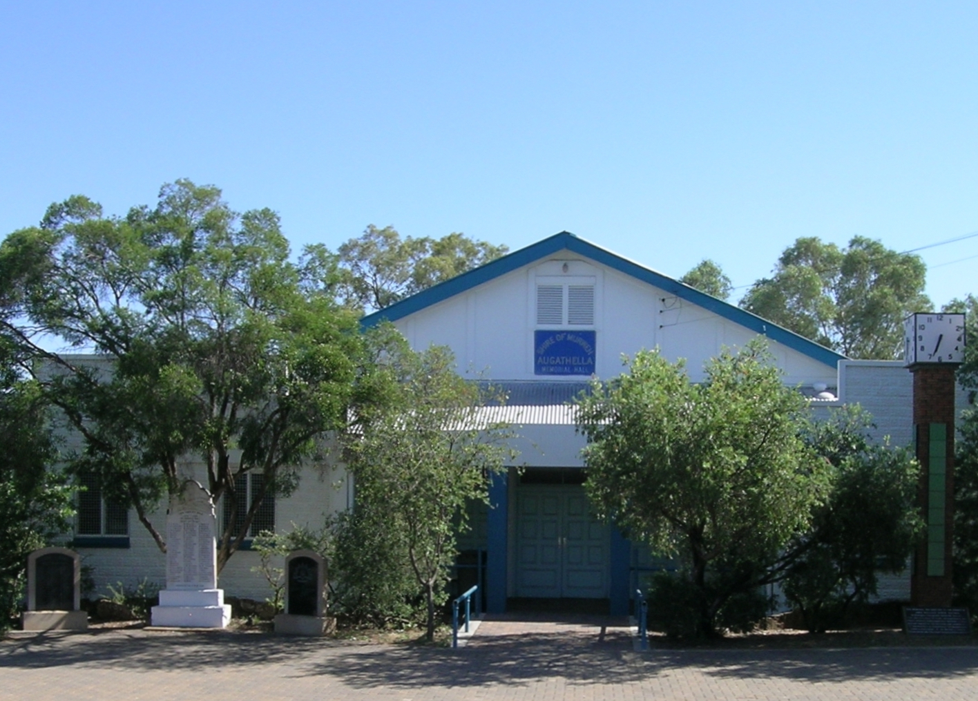
 Memeorial Hall, Augathella
 Australie
 Augathella