Semyonovka
- Semyonovka
-
40° 39′ 11″ N 44° 54′ 35″ E / 40.653056, 44.909722
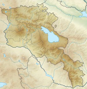
Semyonovka (en arménien Սեմյոնովկա) est une communauté rurale du marz de Gegharkunik, en Arménie. Fondée par des Russes en 1849[2], elle compte 248 habitants en 2008[3].
Notes et références
- ↑ (hy+en) Central Electoral Commission of the Republic of Armenia. Consulté le 24 janvier 2011.
Pour obtenir la page en anglais, cliquez sur le drapeau arménien en haut à gauche, et sélectionnez « English » ; ensuite, dans le menu vertical de gauche, cliquez sur « Local », sélectionnez le
marz pertinent, puis la dernière élection correspondant à la communauté voulue.
- ↑ (en) Brady Kiesling, Rediscovering Armenia, 2000, p. 48 [lire en ligne (page consultée le 25 mars 2010)] .
- ↑ (en) ArmStat, Marzes of the Republic of Armenia in figures, 2008, « RA Gegharkunik Marz », 2008. Consulté le 5 avril 2009.
Wikimedia Foundation.
2010.
Contenu soumis à la licence CC-BY-SA. Source : Article Semyonovka de Wikipédia en français (auteurs)
Regardez d'autres dictionnaires:
Semyonovka — Semyonovka, also spelled Semenovka or Semënovka [* See Yo (Cyrillic)#The letter Ё in Russian] , may refer to: *Semyonovka, Armenia, a village in Armenia *Semënovka, Azerbaijan, a village in Azerbaijan *Semyonovka, name of the town of Arsenyev,… … Wikipedia
Semyonovka, Armenia — Infobox Settlement official name =Semyonovka Սեմյոնովկա native name = pushpin mapsize =150px subdivision type = Country subdivision name = Armenia subdivision type1 = Marz (Province) subdivision name1 =Gegharkunik leader title = leader name =… … Wikipedia
Arsenyev — ( ru. Арсеньев) is a town in Primorsky Krai, Russia, located at coord|44|10|N|133|17|E|.The town location is compact and comfortable. It is a green town in summer. There is much snow during winter in Arsenyev, and this creates perfect conditions… … Wikipedia
List of renamed cities and towns in Russia — Reasons for geographical renaming in Russia were *an especially large number of cities and towns were renamed in Russia after the October Revolution of 1917 *more renamings happened during the whole history of the Soviet Union due to political… … Wikipedia
Gavar — Coordinates: 40°21′32″N 45°07′36″E / 40.35889°N 45.12667°E / 40.35889; 45.12667 … Wikipedia
Dilijan — For the city in Iran, see Delijan. Dilijan Դիլիջան Old Dilijan … Wikipedia
Artsvashen — For the village in Tartar Rayon, Azerbaijan, see Seysulan. Coordinates: 40°38′N 45°30′E / 40.633°N 45.5°E / 40.633; 45.5 … Wikipedia
Nerkin Getashen — Coordinates: 40°08′45″N 45°15′50″E / 40.14583°N 45.26389°E / 40.14583; 45.26389 … Wikipedia
Chambarak — Coordinates: 40°35′43″N 45°20′51″E / 40.59528°N 45.3475°E / 40.59528; 45.3475 … Wikipedia
Martuni, Armenia — For the village of the same name located on the northern side of Lake Sevan, see Martuni (village). Martuni Մարտունի Martuni at dusk … Wikipedia
 Arménie