Sadjoavato

Sadjoavato

12°37′S 49°21′E / -12.617, 49.35

Sadjoavato
Administration
Pays Drapeau de Madagascar Madagascar
Région Diana
Province Antsiranana
District Antsiranana II
Géographie
Coordonnées 12° 37′ 01″ Sud
       49° 21′ 00″ Est
/ -12.617, 49.35
Altitude 249 m
Démographie
Population 7 600 hab. (est. 2001)
Localisation
Madagascar location map.svg
City locator 14.svg

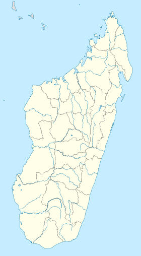
Sadjoavato est une ville et une commune urbaine (Kaominina), du nord de Madagascar, dans la province de Diego-Suarez.

Sommaire

Géographie

Histoire

Sadjoavato(Sadjoa signifie La cruche et Vato = pierre).Donc,Sadjoavato=La cruche en pierre. Dans la région de Sadjoavato, demandez au plus anciens de ce Village, il existe une cruche naturelle et en pierre. En plus il y en a deux dans cette région:"Sadjoavato be" et "Sadjoavato ely",respectivement Le grand sadjoavato et Le petit Sadjoavato.Le petit se trouve sur la route d'Ankarongana ou Irodo(se lit iroud),un peu plus loin vers l'Est à partir de la commune de Sadjoavato. Le Sadjoavato ely est plus proche de la commune de Sadjoavato que le Grand Sadjoavato. Mais pour la voir il faut y déposer autour de cette cruche naturelle un morceau de pierre ou une pièce de monnaie. C'est un rite(ou croyancce comme on veut). Cette histoire est racontée par un enfant de Sadjoavato qui y habitait entre 1962 à 1969, et si quelqu'un aurait une précision à apporter, n'hésiter pas à y modifier. RANARIVELO Narvel Abel.

Administration

Sadjoavato est une commune urbaine du district d'Antsiranana II, située dans la région de Diana, dans la province de Diego-Suarez.

Économie

Commune rurale, on trouve des exploitations de maïs et de manioc ainsi que des rizières.

Démographie

La population est estimée à 7 600 habitants, en 2001[1].

Notes et références

  1. Site Ilo, Université Cornell (2002). 13 février 2008

Voir aussi

Articles connexes

  • ...

Liens externes

  • ...

Wikimedia Foundation. 2010.

Contenu soumis à la licence CC-BY-SA. Source : Article Sadjoavato de Wikipédia en français (auteurs)

Игры ⚽ Нужен реферат?

Regardez d'autres dictionnaires:

  • Sadjoavato — Infobox Settlement official name = Sadjoavato other name = native name = nickname = settlement type = motto = imagesize = image caption = flag size = image seal size = image shield = shield size = image blank emblem = blank emblem type = blank… …   Wikipedia

  • Sadjoavato — Original name in latin Sadjoavato Name in other language Sadjoavato, Sadjovato State code MG Continent/City Indian/Antananarivo longitude 12.61667 latitude 49.35 altitude 268 Population 7600 Date 2013 06 06 …   Cities with a population over 1000 database

  • Anivorano Nord — 12°44′S 49°14′E / 12.733, 49.233 …   Wikipédia en Français

  • District d'Antsiranana II — Antsiranana II Région Diana Chef lieu Nombre de kaominina 16 Superficie 6 025 km2 …   Wikipédia en Français

  • Antsiranana — (Malagasy: Antsiran̈ana Malagasy pronunciation: [antsʲˈraŋanə̥]), named Diego Suarez prior to 1975, is a city at the northern tip of Madagascar. Antsiranana is the capital of Diana Region. Contents 1 …   Wikipedia

  • Nosy Be — is situated off the west coast of Diana Region in northern Madagascar …   Wikipedia

  • Diana, Madagascar — Diana is a region in Madagascar. The region is the most northerly part of the island. It borders the adjacent regions of Sava to the east and Sofia to the south. It covers an area of 19,266 km2., and had an estimated population of 485,800 in 2004 …   Wikipedia

  • Mantaly — Mantaly …   Wikipedia

  • Manambato — Manambato …   Wikipedia

  • Mahalina — Mahalina …   Wikipedia

Share the article and excerpts

Direct link
Do a right-click on the link above
and select “Copy Link”