RAF Alconbury
Contenu soumis à la licence CC-BY-SA. Source : Article RAF Alconbury de Wikipédia en français (auteurs)
Regardez d'autres dictionnaires:
RAF Alconbury — is a Royal Air Force station adjacent to the Stukeleys, near Alconbury and Huntingdon, Cambridgeshire in the United Kingdom, about 60 miles (100 km) north of London. Its runway and flight line were closed in the mid 1990s and it is currently a… … Wikipedia
RAF Bentwaters — is a former Royal Air Force station about 80 miles NE of London, 10 miles ENE of Ipswich, near Woodbridge, Suffolk in England. The name was taken from two cottages (‘Bentwaters Cottages’) that had stood on the site of the main runway during its… … Wikipedia
RAF Manston — Station Crest Active 1916 (as Admiralty airfield) – 1999 Country United … Wikipedia
RAF Bruntingthorpe — was a Royal Air Force station in Leicestershire between 1942 and 1962. HistoryThe station was opened in 1942 as home of 29 Operational Training Unit operating the Vickers Wellington. Bruntingthorpe was not used between 1946 and 1957 when it… … Wikipedia
RAF Molesworth — Royal Air Force Molesworth USAAF Station 107 … Wikipedia
RAF Mildenhall — Royal Air Force Mildenhall Part o … Wikipedia
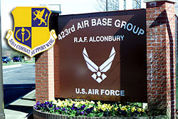
RAF Upwood — Infobox Military Structure name= Royal Air Force Station Upwood partof=United States Air Forces in Europe (USAFE) location= Located near Bury, Cambridgeshire, England coordinates=coord|52|26|18.12|N|000|07|56.39|W| caption= 423d Air Base Group… … Wikipedia
RAF Wethersfield — Infobox Military Structure name= Royal Air Force Station Wethersfield USAAF Station 170 location= Located Near Wethersfield, Essex, England coordinates=coord|51|58|01|N|000|30|00|E| caption= RAF Wethersfield during World War II, March 1945 type=… … Wikipedia
RAF Chelveston — Infobox Military Structure name= Royal Air Force Station Chelveston USAAF Station 105 location= Located Near Chelveston, Northamptonshire, England coordinates=coord|52|18|46|N|000|32|04|W caption= Chelveston Airfield in 1945 type= Air Force Base… … Wikipedia
RAF Bovingdon — Location map Hertfordshire label=RAF Bovingdon position=right lat=51.72722 long= 0.54333 width=180 float=right caption= RAF Bovingdon shown within Hertfordshire (gbmapping|TL010040)RAF Bovingdon was a Royal Air Force station, located at Bovingdon … Wikipedia
 Royaume-Uni
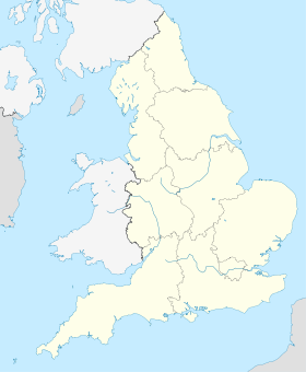


 RF-4C du 10th TRW de RAF Alconbury en 1987.