Arivonimamo
- Arivonimamo
-
19° 01′ S 47° 15′ E / -19.02, 47.25
Arivonimamo est une commune urbaine située dans la Province de Tananarive, au centre du Madagascar.
Géographie
La ville est reliée par la route nationale 1 des deux villes de Tsiroanomandidy (à l'ouest) et de Tananarive (à l'est).
Administration
Centre Administratif ou Chef de Circonscription Administrative. Arivonimamo est le Chef lieu de District. De la Province d'Antananarivo, de la Région Itasy, Arivonimamo est le District à proximité d'Antananarivo et est composé de vingt-et-une communes.
Infrastructure
L'ancien aéroport international de Antananarivo Arivonimamo était situé sur son territoire avant son remplacement par celui d'Ivato, en 1967. Aujourd'hui, il est devenu un aérodrome civil.
Sources
(en) Cet article est partiellement ou en totalité issu de l’article en anglais intitulé « Arivonimamo » (voir la liste des auteurs)
Wikimedia Foundation.
2010.
Contenu soumis à la licence CC-BY-SA. Source : Article Arivonimamo de Wikipédia en français (auteurs)
Regardez d'autres dictionnaires:
Arivonimamo — Saltar a navegación, búsqueda Arivonimamo Mapa de la Provincia de Antananarivo mostrando la localización de Antanifotsy (rojo). Ubicación … Wikipedia Español
Arivonimamo II — 18° 58′ 00″ S 47° 11′ 00″ E / 18.966667, 47.183333 … Wikipédia en Français
Arivonimamo — Infobox City official name = Arivonimamo mapsize = 183px map caption = Map of Antananarivo Province showing the location of Arivonimamo district (red). subdivision type = Country subdivision name = Madagascar subdivision type1 = Province… … Wikipedia
Arivonimamo II — Infobox Settlement official name = Arivonimamo II other name = native name = nickname = settlement type = motto = imagesize = image caption = flag size = image seal size = image shield = shield size = image blank emblem = blank emblem type =… … Wikipedia
Arivonimamo — Original name in latin Arivonimamo Name in other language Arivonimamo, Arivonimamy State code MG Continent/City Indian/Antananarivo longitude 19.01667 latitude 47.18333 altitude 1418 Population 21982 Date 2013 06 06 … Cities with a population over 1000 database
District d'Arivonimamo — Arivonimamo Région Itasy Chef lieu Arivonimamo Nombre de kaominina 21 Superficie 1 627 km2 … Wikipédia en Français
Morafeno, Arivonimamo — Morafeno … Wikipedia
Morarano, Arivonimamo — Morarano … Wikipedia
Ambatomanga (Arivonimamo) — 18° 26′ S 47° 16′ E / 18.44, 47.27 … Wikipédia en Français
Ambohimasina (Arivonimamo) — 18° 48′ 00″ S 47° 14′ 00″ E / 18.8, 47.233333 … Wikipédia en Français
 Madagascar
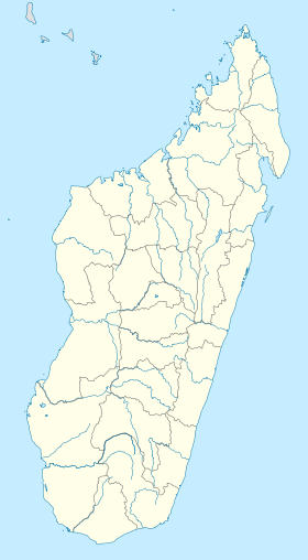

 Localisation d'Arivonimamo dans la province de Tananarive

