Nasura

Nasura
Nasura
Illustration sous licence libre bienvenue !
Caractéristiques
Longueur  ?
Bassin  ?
Bassin collecteur Otokwa
Débit moyen  ?
Cours
Source Face Sud du Puncak Jaya
 · Localisation Chaîne de Sudirman (monts Maoke)
 · Altitude env  4 000 m
 · Coordonnées 4° 04′ 49″ S 137° 08′ 43″ E / -4.080242, 137.145295 (Source - Nasura)
Confluence Tsing
 · Localisation Chaîne de Sudirman (monts Maoke)
 · Altitude env  1 200 m
 · Coordonnées 4° 14′ 06″ S 137° 11′ 59″ E / -4.234887, 137.199841 (Confluence - Nasura)
Géographie
Principaux affluents
 · Rive gauche Nombreux torrents
 · Rive droite Nombreux torrents
Pays traversés Drapeau d'Indonésie Indonésie
Principales villes Singa
Sources : [1]

Le Nasura, en indonésien Sungai Nasura, est un petit torrent d'Indonésie qui coule dans les monts Maoke[1].

Sommaire

Géographie

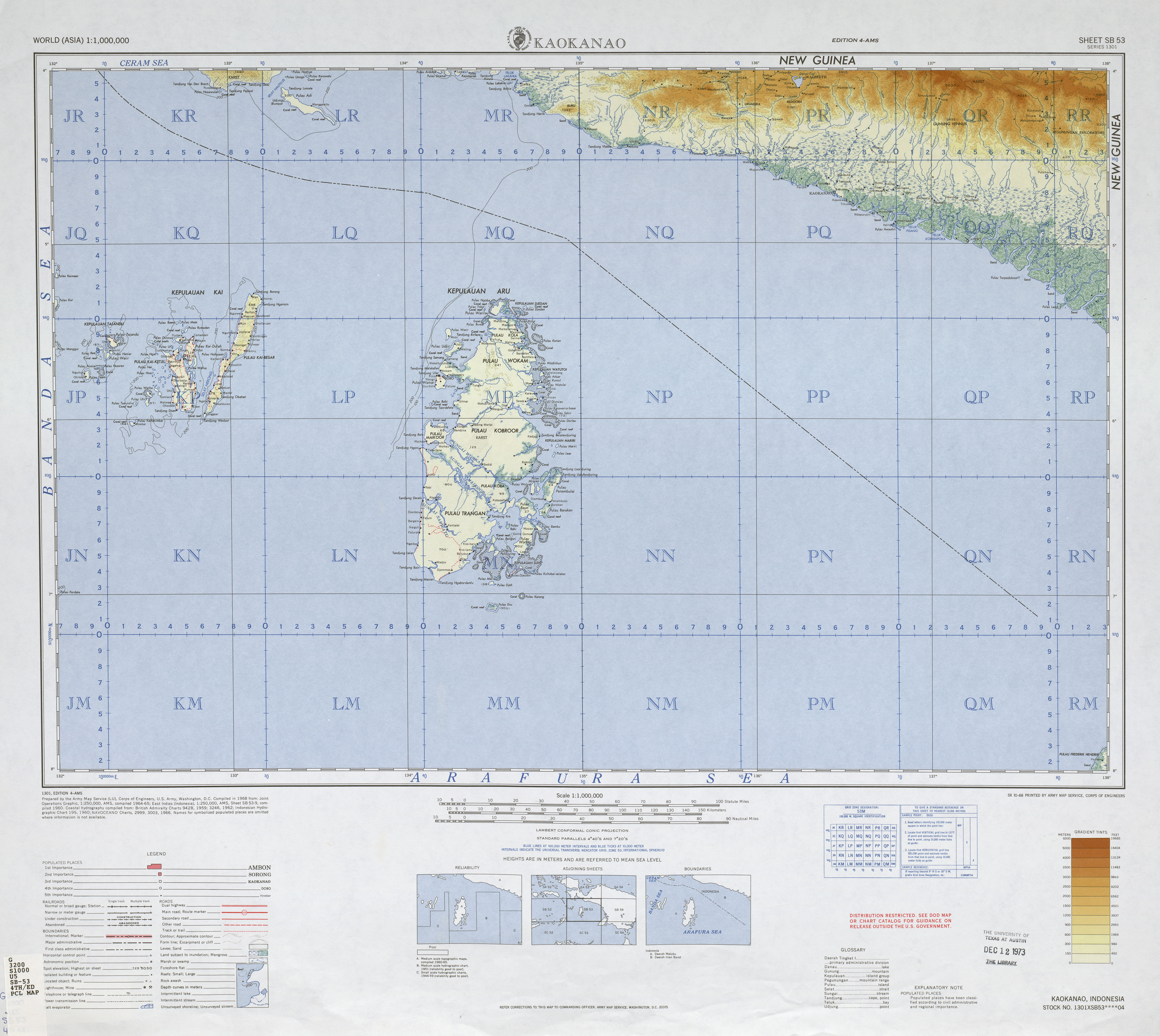
Le Nasura prend sa source à environ 4 000 mètres d'altitude sur la face Sud du Puncak Jaya, le point culminant de l'Indonésie et de l'Océanie[2]. Il se dirige plein sud où il se jette dans la rivière Tsing à environ 1 200 mètres d'altitude après avoir traversé le village de Singa[1]. La Tsing est un affluent du fleuve Otokwa qui se jette dans la mer d'Arafura au sud[3].

Annexes

Articles connexes

Références

  1. a, b et c (en) (en) Geoffrey S. Hope, James A. Peterson, Ian Allison et Uwe Radok, Western Sudirman Range, Irian Jaya, Rotterdam, A.A. Balkema, 1976, 245 p. (ISBN 90 6191 012 9) [lire en ligne] [présentation en ligne], p. 1 
  2. (en) UIAA - Greater ranges and major geographical areas. Consulté le 27 avril 2009
  3. (en) Service de cartographie de l'armée américaine, Carte de Kaokanao, 1968 [lire en ligne] 

Wikimedia Foundation. 2010.

Contenu soumis à la licence CC-BY-SA. Source : Article Nasura de Wikipédia en français (auteurs)

Игры ⚽ Поможем написать курсовую

Regardez d'autres dictionnaires:

  • Sungai Nasura — Nasura Nasura Caractéristiques Longueur  ? Bassin  ? Bassin collecteur Otokwa …   Wikipédia en Français

  • Mount Nasura, Western Australia — Mount Nasura Perth, Western Australia …   Wikipedia

  • Mount Richon, Western Australia — Mount Richon Perth, Western Australia …   Wikipedia

  • Otokwa —  Pour l’article homonyme, voir Otokwa (ville).  Otokwa Caractéristiques Longueur & …   Wikipédia en Français

  • Sungai Tsing — Tsing Tsing Caractéristiques Longueur  ? Bassin  ? Bassin collecteur Otokwa …   Wikipédia en Français

  • Tsing — Pour la dynastie chinoise, voir Dynastie Qing. Tsing Caractéristiques Longueur …   Wikipédia en Français

  • List of Perth suburbs — This is a list of suburbs grouped by local government in Perth, Western Australia.Many of these suburbs are in fact localities , that is, they are not incorporated or otherwise legally defined entities. Western Australia uses (loosely) the… …   Wikipedia

  • Armadale, Western Australia — Infobox Australian Place | type = suburb name = Armadale city = Perth state = wa caption = lga = City of Armadale postcode = 6112 pop = 12,019 (2006 census) area = 8 est = propval = $295,000 (Q1 2007) cite web|url=http://reiwa.com/res/res iframe… …   Wikipedia

  • Free Reformed Churches of Australia — The [http://frca.org.au Free Reformed Churches of Australia] is a federation of 13 congregations, 11 in Western Australia and two in Tasmania. Their historical roots are in the Reformed Churches of the Netherlands (Liberated) as a result of post… …   Wikipedia

  • Bedfordale, Western Australia — Infobox Australian Place | type = suburb name = Bedfordale city = Perth state = wa caption = lga = City of Armadale postcode = 6112 pop = 1,830 (2006 census) area = 49 est = propval = $561,500 (Q1 2007) cite web|url=http://reiwa.com/res/res… …   Wikipedia

Share the article and excerpts

Direct link
Do a right-click on the link above
and select “Copy Link”